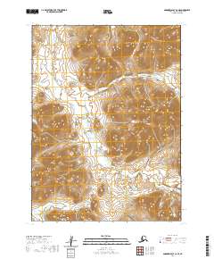
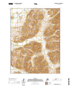
2020 Map of Goodnews Bay C-6 SE
USGS Topo · Published 2020About this map
Nimkai Mtn and Chingekigtlik Mtn define the topography of this southwestern Alaska landscape within the Bethel Census Area. The area is characterized by a high-altitude drainage system where the headwaters of Takshilik Cr and Nimgun Cr weave through steep mountain corridors. These watercourses reflect a primitive hydrological pattern unchanged by modern development, dictated entirely by the sharp elevation shifts between the peaks and the valley floors.
Find a feature on this map
10 named features on this map. Tap any name to fly to it.
Don’t see what you’re looking for? This feature index may not catch every label — zoom into the map to look around manually.
Map Details
Editions of this 2020 Goodnews Bay C-6 SE Map
This is the sole edition of this map. No revisions or reprints were ever made.
Other maps of this area

1951 · Goodnews
USGS Topo · 1:250,000

1954 · Goodnews B-6
USGS Topo · 1:63,360

1954 · Goodnews C-6
USGS Topo · 1:63,360

1979 · Goodnews Bay C-5
USGS Topo · 1:63,360

1979 · Goodnews Bay B-5
USGS Topo · 1:63,360

1979 · Goodnews Bay
USGS Topo · 1:250,000
2017 · Goodnews Bay C-6 NW
USGS Topo · 1:25,000
2017 · Goodnews Bay C-6 SW
USGS Topo · 1:25,000
2017 · Goodnews Bay B-6 NW
USGS Topo · 1:25,000
2020 · Goodnews Bay C-5 NW
USGS Topo · 1:25,000