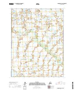
2017 Map of Goodnews Bay C-8 NE
USGS Topo · Published 2017About this map
Ithagsutlek Lake anchors the northern reaches of this coastal Alaskan landscape, where a complex network of waterways defines the terrain. The hydrology is dominated by the branching paths of the North Mouth Arolik River and the S Mouth Arolik River, which snake through a low-lying wetland environment characteristic of the Bethel Census Area. Smaller tributaries, including Bessie Creek, Danger Cr, and Tulugektuk Cr, create an intricate web of drainage across the tundra. This 2017 survey reveals a landscape largely devoid of human structures, focusing instead on the natural movement of water and the formal boundaries of the Public Land Survey System, such as those within t5s r74w and t6s r73w.
Find a feature on this map
11 named features on this map. Tap any name to fly to it.
Don’t see what you’re looking for? This feature index may not catch every label — zoom into the map to look around manually.
Map Details
Editions of this 2017 Goodnews Bay C-8 NE Map
This is the sole edition of this map. No revisions or reprints were ever made.
Other maps of this area

1951 · Goodnews
USGS Topo · 1:250,000

1954 · Goodnews C-7
USGS Topo · 1:63,360

1954 · Goodnews D-7
USGS Topo · 1:63,360
1954 · Goodnews D-8
USGS Topo · 1:63,360
1954 · Goodnews C-8
USGS Topo · 1:63,360

1979 · Goodnews Bay
USGS Topo · 1:250,000
2017 · Goodnews Bay C-8 SE
USGS Topo · 1:25,000
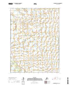
2017 · Goodnews Bay C-7 NW
USGS Topo · 1:25,000
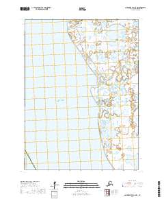
2017 · Goodnews Bay C-8 NW
USGS Topo · 1:25,000
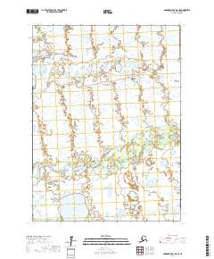
2017 · Goodnews Bay D-8 SE
USGS Topo · 1:25,000