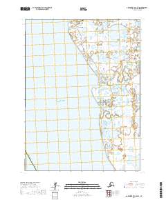
2017 Map of Goodnews Bay C-8 NW
USGS Topo · Published 2017About this map
Quinhagak sits at the northern edge of this coastal landscape where the Kanektok River meets the Pacific Ocean. The village is defined by a network of local thoroughfares including Fish Plant Road, Carter Road, and a dedicated Boardwalk, indicating a community oriented toward the water and subsistence resources. South of the settlement, the terrain is dominated by a complex wetland system of tundra and interconnected waterways.
Find a feature on this map
17 named features on this map. Tap any name to fly to it.
Don’t see what you’re looking for? This feature index may not catch every label — zoom into the map to look around manually.
Map Details
Editions of this 2017 Goodnews Bay C-8 NW Map
This is the sole edition of this map. No revisions or reprints were ever made.
Other maps of this area

1951 · Kuskokwim Bay
USGS Topo · 1:250,000

1951 · Goodnews
USGS Topo · 1:250,000

1954 · Kuskokwim Bay
USGS Topo · 1:250,000
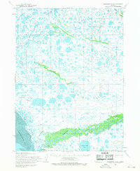
1954 · Goodnews D-8
USGS Topo · 1:63,360
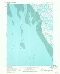
1954 · Kuskokwim Bay D-1
USGS Topo · 1:63,360
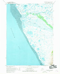
1954 · Goodnews C-8
USGS Topo · 1:63,360

1979 · Goodnews Bay
USGS Topo · 1:250,000
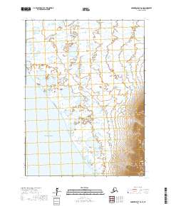
2017 · Goodnews Bay C-8 SE
USGS Topo · 1:25,000
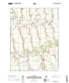
2017 · Goodnews Bay D-8 SE
USGS Topo · 1:25,000
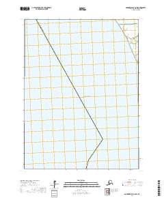
2017 · Goodnews Bay C-8 SW
USGS Topo · 1:25,000