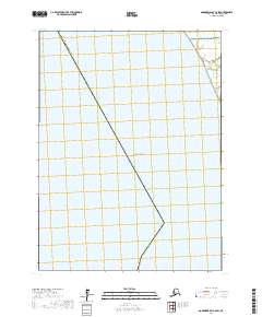
2017 Map of Goodnews Bay C-8 SW
USGS Topo · Published 2017About this map
The coastal interface of the Togiak National Wildlife Refuge meets the northern reaches of the Pacific Ocean in this remote section of the Alaska Bethel Census Area. The landscape is dominated by the tidal and fluvial patterns of Sayakik Cr, which winds through the northeastern corner of the map before emptying into the sea. This 2017 survey reflects a largely uninhabited wilderness where the Public Land Survey System grids of t6s r74w, t7s r74w, and t8s r74w demarcate vast stretches of open water and coastal wetlands. The lack of infrastructure or settlements underscores the protected status of the refuge and the maritime character of this subarctic environment.
Find a feature on this map
7 named features on this map. Tap any name to fly to it.
Don’t see what you’re looking for? This feature index may not catch every label — zoom into the map to look around manually.
Map Details
Editions of this 2017 Goodnews Bay C-8 SW Map
This is the sole edition of this map. No revisions or reprints were ever made.
Other maps of this area

1951 · Kuskokwim Bay
USGS Topo · 1:250,000

1951 · Goodnews
USGS Topo · 1:250,000

1954 · Kuskokwim Bay
USGS Topo · 1:250,000

1954 · Goodnews B-8
USGS Topo · 1:63,360
1954 · Goodnews C-8
USGS Topo · 1:63,360

1979 · Goodnews Bay
USGS Topo · 1:250,000
2017 · Goodnews Bay B-8 NW
USGS Topo · 1:25,000
2017 · Goodnews Bay B-8 NE
USGS Topo · 1:25,000
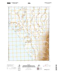
2017 · Goodnews Bay C-8 SE
USGS Topo · 1:25,000
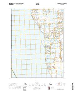
2017 · Goodnews Bay C-8 NW
USGS Topo · 1:25,000