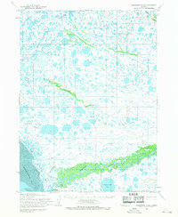
1954 Map of Goodnews D-8
USGS Topo · Published 1968About this map
Quinhagak sits at the edge of Kuskokwim Bay in this mid-century survey, serving as a critical point of human activity in a landscape defined by water. The Kanektok River dominates the southern portion of the sheet, winding through complex wetlands toward the coast. A distinctive Tractor Trail and a nearby Landing Field highlight the vital, if sparse, transportation infrastructure required for coastal access in the 1950s.
Find a feature on this map
13 named features on this map. Tap any name to fly to it.
Don’t see what you’re looking for? This feature index may not catch every label — zoom into the map to look around manually.
Map Details
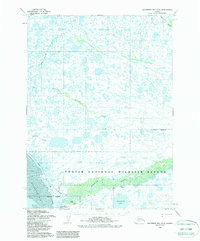
Editions of this 1954 Goodnews D-8 Map
2 editions found
Other maps of this area

1950 · Bethel
USGS Topo · 1:250,000

1951 · Kuskokwim Bay
USGS Topo · 1:250,000

1951 · Goodnews
USGS Topo · 1:250,000

1951 · Baird Inlet
USGS Topo · 1:250,000
1954 · Bethel A-8
USGS Topo · 1:63,360

1954 · Bethel A-7
USGS Topo · 1:63,360

1954 · Baird Inlet
USGS Topo · 1:250,000

1954 · Kuskokwim Bay
USGS Topo · 1:250,000

1954 · Goodnews C-7
USGS Topo · 1:63,360

1954 · Goodnews D-7
USGS Topo · 1:63,360