
1954 Map of Goodnews D-7
USGS Topo · Published 1968About this map
The Kanektok River dominates this mid-century landscape in the Bethel region, flowing through a vast network of tundra ponds and smaller waterways. Compiled from aerial photography taken in 1952 and 1957, the map illustrates an intricate riparian environment where the Ugalik River and Kluktak Creek join the drainage system. The terrain is characterized by thousands of unnamed small lakes and meandering watercourses, typical of the Yukon-Kuskokwim Delta region. The southwestern portion of the sheet shows the junction of Magaktlek Creek and Taluatlek Creek, providing a detailed record of the shifting hydrology in this unsurveyed territory. This survey reflects the remote character of the Alaskan wilderness before significant modern infrastructure, focusing primarily on the natural waterways like Kuskokwak Creek that served as primary landmarks and transport corridors for the area.
Find a feature on this map
6 named features on this map. Tap any name to fly to it.
Don’t see what you’re looking for? This feature index may not catch every label — zoom into the map to look around manually.
Map Details
Editions of this 1954 Goodnews D-7 Map
This is the sole edition of this map. No revisions or reprints were ever made.
Other maps of this area

1950 · Bethel
USGS Topo · 1:250,000

1951 · Goodnews
USGS Topo · 1:250,000
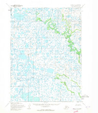
1954 · Bethel A-8
USGS Topo · 1:63,360

1954 · Bethel A-7
USGS Topo · 1:63,360

1954 · Goodnews C-7
USGS Topo · 1:63,360

1954 · Goodnews D-6
USGS Topo · 1:63,360
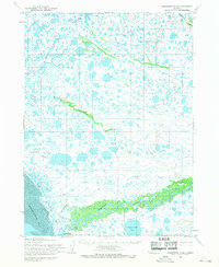
1954 · Goodnews D-8
USGS Topo · 1:63,360

1954 · Goodnews C-6
USGS Topo · 1:63,360
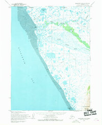
1954 · Goodnews C-8
USGS Topo · 1:63,360

1954 · Bethel A-6
USGS Topo · 1:63,360