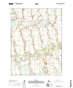
2017 Map of Goodnews Bay D-8 SE
USGS Topo · Published 2017About this map
The Kanektok River meanders across this subarctic landscape in the Bethel Census Area, creating a complex network of braids and oxbows through the low-lying terrain. This 2017 survey reveals the intricate hydrology of the region, where the river serves as the dominant geographical feature, flanked by the winding Oyak Cr to the north and the expansive Ithagsutlek Lake in the southwest corner. The land is defined by a dense mosaic of wetlands and small water bodies, characteristic of the Alaskan coastal plain. To the north, the S Br Warehouse Cr drains toward the coast, illustrating the subtle topographical shifts that dictate the flow of water across these vast townships. This map provides an essential baseline for understanding the fluid nature of the river systems in this portion of the Goodnews Bay region.
Find a feature on this map
10 named features on this map. Tap any name to fly to it.
Don’t see what you’re looking for? This feature index may not catch every label — zoom into the map to look around manually.
Map Details
Editions of this 2017 Goodnews Bay D-8 SE Map
This is the sole edition of this map. No revisions or reprints were ever made.
Other maps of this area

1951 · Goodnews
USGS Topo · 1:250,000

1954 · Goodnews C-7
USGS Topo · 1:63,360

1954 · Goodnews D-7
USGS Topo · 1:63,360
1954 · Goodnews D-8
USGS Topo · 1:63,360
1954 · Goodnews C-8
USGS Topo · 1:63,360

1979 · Goodnews Bay
USGS Topo · 1:250,000
2017 · Goodnews Bay C-7 NW
USGS Topo · 1:25,000
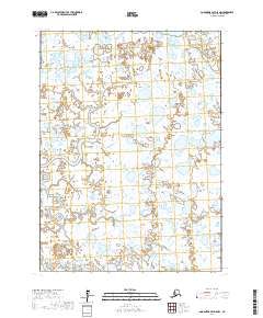
2017 · Goodnews Bay D-8 NW
USGS Topo · 1:25,000
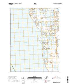
2017 · Goodnews Bay C-8 NW
USGS Topo · 1:25,000
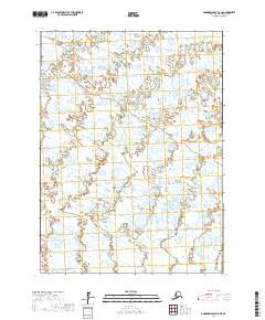
2017 · Goodnews Bay D-8 NE
USGS Topo · 1:25,000