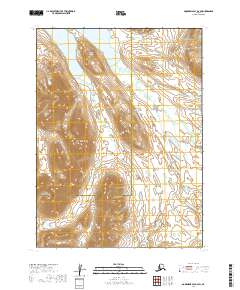
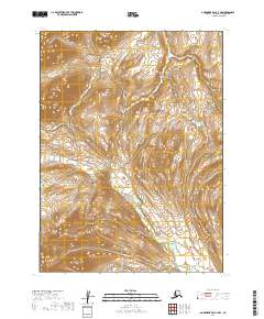
2019 Map of Goodnews Bay D-3 SW
USGS Topo · Published 2019About this map
Kagati Lake and Pegat Lake dominate the northern landscape of this remote subarctic region, where the high-elevation terrain of Ata-al-ach Mtn rises sharply above the water. This 2019 survey documents a wilderness environment at the intersection of the Bethel Census Area and the Dillingham Census Area. The drainage patterns are defined by glacier-fed or snow-melt streams like Atmugiak Cr and Aukamunuk Cr, which carve through the valleys surrounding the prominent peak of Nuklunek Mtn. The absence of roads or permanent settlements emphasizes the character of the Ahklun Mountains, where the topography remains largely untamed and serves as a critical baseline for environmental study and backcountry navigation in southwestern Alaska.
Find a feature on this map
7 named features on this map. Tap any name to fly to it.
Don’t see what you’re looking for? This feature index may not catch every label — zoom into the map to look around manually.
Map Details
Editions of this 2019 Goodnews Bay D-3 SW Map
This is the sole edition of this map. No revisions or reprints were ever made.
Other maps of this area

1951 · Goodnews
USGS Topo · 1:250,000

1954 · Goodnews C-4
USGS Topo · 1:63,360

1954 · Goodnews D-4
USGS Topo · 1:63,360

1979 · Goodnews Bay D-3
USGS Topo · 1:63,360

1979 · Goodnews Bay C-3
USGS Topo · 1:63,360

1979 · Goodnews Bay
USGS Topo · 1:250,000
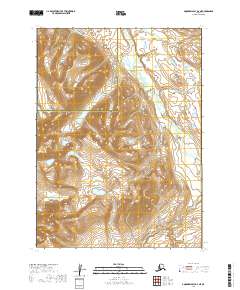
2019 · Goodnews Bay D-3 NE
USGS Topo · 1:25,000
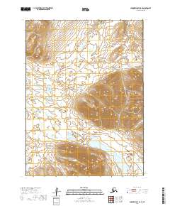
2019 · Goodnews Bay D-3 SE
USGS Topo · 1:25,000
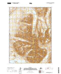
2019 · Goodnews Bay D-3 NW
USGS Topo · 1:25,000
2019 · Goodnews Bay C-3 NW
USGS Topo · 1:25,000