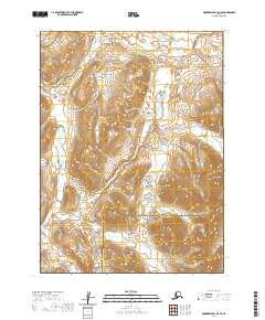
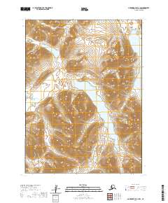
2020 Map of Goodnews Bay D-4 SE
USGS Topo · Published 2020About this map
Nuklunek Mtn stands as a prominent geographic landmark in this remote reach of the Alaskan wilderness, where the high-altitude terrain is defined by complex contour lines and drainage patterns. This 2020 survey records the jurisdictional boundary line separating the Bethel Census Area from the Dillingham Census Area, a division that reflects the administrative organization of this sparsely populated interior. The landscape is characterized by its high relief and lack of modern infrastructure, offering a clear view of the natural topography in its raw state. For those studying the geography of southwest Alaska, the map provides an essential baseline for understanding the physical relationship between the regional census areas and the local mountain peaks.
Find a feature on this map
9 named features on this map. Tap any name to fly to it.
Don’t see what you’re looking for? This feature index may not catch every label — zoom into the map to look around manually.
Map Details
Editions of this 2020 Goodnews Bay D-4 SE Map
This is the sole edition of this map. No revisions or reprints were ever made.
Other maps of this area

1951 · Goodnews
USGS Topo · 1:250,000

1954 · Goodnews C-4
USGS Topo · 1:63,360

1954 · Goodnews D-4
USGS Topo · 1:63,360

1979 · Goodnews Bay D-3
USGS Topo · 1:63,360

1979 · Goodnews Bay C-3
USGS Topo · 1:63,360

1979 · Goodnews Bay
USGS Topo · 1:250,000
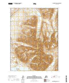
2019 · Goodnews Bay D-3 NW
USGS Topo · 1:25,000
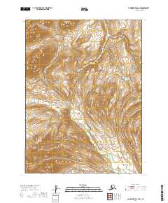
2019 · Goodnews Bay C-3 NW
USGS Topo · 1:25,000
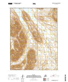
2019 · Goodnews Bay D-3 SW
USGS Topo · 1:25,000
2020 · Goodnews Bay C-4 NW
USGS Topo · 1:25,000