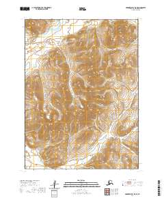
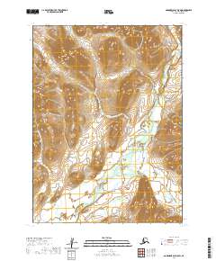
2020 Map of Goodnews Bay D-5 SE
USGS Topo · Published 2020About this map
Ahklun Mountains dominate the landscape of this Bethel Census Area quadrangle, defining a region of intense relief and high-elevation drainages. In the northern reaches of the sheet, the Kanektok River flows through a broad glacial valley, while the southern portion is carved by the headwaters of Klak Cr. The topography is characterized by steep ridges and deep-set alpine valleys that illustrate the complex geomorphology of southwestern Alaska. With no roads or permanent settlements indicated, the map serves as a primary record of the natural hydrology and terrain as it stood in the early 21st century. The alignment of township and range lines across this wild interior reflects the systematic cadastral surveying of the Alaska bush, providing a structural framework for a landscape otherwise defined by its soaring peaks and winding waterways.
Find a feature on this map
9 named features on this map. Tap any name to fly to it.
Don’t see what you’re looking for? This feature index may not catch every label — zoom into the map to look around manually.
Map Details
Editions of this 2020 Goodnews Bay D-5 SE Map
This is the sole edition of this map. No revisions or reprints were ever made.
Other maps of this area

1951 · Goodnews
USGS Topo · 1:250,000

1954 · Goodnews C-4
USGS Topo · 1:63,360

1954 · Goodnews D-4
USGS Topo · 1:63,360

1954 · Goodnews D-5
USGS Topo · 1:63,360

1979 · Goodnews Bay C-5
USGS Topo · 1:63,360

1979 · Goodnews Bay
USGS Topo · 1:250,000
2020 · Goodnews Bay C-4 NW
USGS Topo · 1:25,000
2020 · Goodnews Bay D-4 NW
USGS Topo · 1:25,000
2020 · Goodnews Bay D-5 NW
USGS Topo · 1:25,000
2020 · Goodnews Bay D-5 SW
USGS Topo · 1:25,000