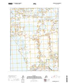
2017 Map of Goodnews Bay D-8 SW
USGS Topo · Published 2017About this map
Quinhagak stands at the intersection of river and sea on this coastal survey from the Bethel Census Area. The settlement is positioned near the mouth of the Kanektok River, where the freshwater drainage meets the Pacific Ocean. This area is characterized by an intricate network of wetlands and tundra ponds, with meandering waterways like Oyak Creek and Stoggnang Creek threading through the low-lying terrain. The importance of regional connectivity is evident at the Quinhagak Airport, which serves as a vital link for this isolated community. Further inland, the landscape is defined by countless small lakes and drainage systems including Weelung Cr and Kanagtatlek Cr, reflecting the complex hydrology of the Yukon-Kuskokwim Delta region.
Find a feature on this map
16 named features on this map. Tap any name to fly to it.
Don’t see what you’re looking for? This feature index may not catch every label — zoom into the map to look around manually.
Map Details
Editions of this 2017 Goodnews Bay D-8 SW Map
This is the sole edition of this map. No revisions or reprints were ever made.
Other maps of this area

1951 · Kuskokwim Bay
USGS Topo · 1:250,000

1951 · Goodnews
USGS Topo · 1:250,000

1954 · Kuskokwim Bay
USGS Topo · 1:250,000
1954 · Goodnews D-8
USGS Topo · 1:63,360
1954 · Kuskokwim Bay D-1
USGS Topo · 1:63,360
1954 · Goodnews C-8
USGS Topo · 1:63,360

1979 · Goodnews Bay
USGS Topo · 1:250,000
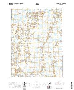
2017 · Goodnews Bay D-8 NW
USGS Topo · 1:25,000
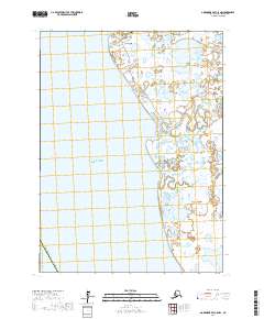
2017 · Goodnews Bay C-8 NW
USGS Topo · 1:25,000
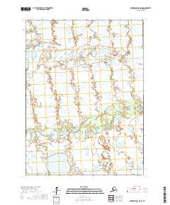
2017 · Goodnews Bay D-8 SE
USGS Topo · 1:25,000