
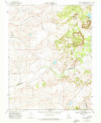
1968 Map of Goose Creek
USGS Topo · Published 1993About this map
Hadselville serves as a central reference point in this landscape where the boundaries of Sacramento, Amador, and San Joaquin Counties meet. The terrain is defined by a complex drainage system including Goose Creek, Dry Creek, and the prominent canyon of the Arroyo Seco. Evidence of historical resource extraction is visible in the northwest, where extensive Dredge Tailings suggest a legacy of surface mining along the riparian corridors.
Find a feature on this map
16 named features on this map. Tap any name to fly to it.
Don’t see what you’re looking for? This feature index may not catch every label — zoom into the map to look around manually.
Map Details
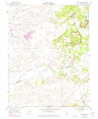
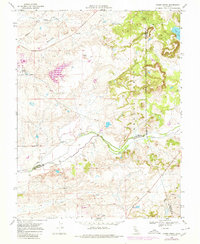
Editions of this 1968 Goose Creek Map
4 editions found
Other maps of this area

1889 · Jackson
USGS Topo · 1:125,000

1892 · Jackson
USGS Topo · 1:125,000

1894 · Lodi
USGS Topo · 1:125,000

1897 · Jackson
USGS Topo · 1:125,000

1902 · Jackson
USGS Topo · 1:125,000

1908 · Lockeford
USGS Topo · 1:31,680

1909 · Carbondale
USGS Topo · 1:31,680

1909 · Clay
USGS Topo · 1:31,680

1909 · Cosumnes
USGS Topo · 1:31,680

1909 · Goose Creek
USGS Topo · 1:31,680