
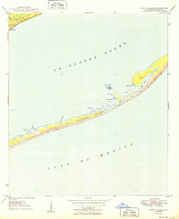
1950 Map of Goose Island
USGS Topo · Published 1950About this map
The coastal settlement of Eastpoint serves as the mainland anchor for this 1950 coastal survey, situated where the John Gorrie Bridge and Route 319 cross toward the barrier islands. The map provides a detailed view of the St. George archipelago before modern bridge access fully transformed the shoreline, highlighting the pristine dunes and marshes of St George Island. Navigation and early coastal life are evidenced by features like Old Landing and Gap Point, while the northern portion of the island is punctuated by small inlets such as Rattlesnake Cove and Shell Point Cove. Local heritage is anchored at the Eastpoint Cem near the mainland's edge. The landform of Goose Island sits isolated in the shallow waters of St George Sound, illustrating the complex maritime geography of Franklin County before mid-century development accelerated.
Find a feature on this map
18 named features on this map. Tap any name to fly to it.
Don’t see what you’re looking for? This feature index may not catch every label — zoom into the map to look around manually.
Map Details
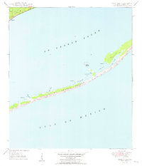
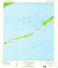
Editions of this 1950 Goose Island Map
4 editions found
Other maps of this area

1943 · Apalachicola
USGS Topo · 1:31,680

1943 · Carrabelle
USGS Topo · 1:24,000

1944 · Carrabelle
USGS Topo · 1:31,680

1944 · Green Point
USGS Topo · 1:31,680

1944 · Sugar Hill
USGS Topo · 1:31,680

1944 · Apalachicola
USGS Topo · 1:24,000

1945 · Sugar Hill
USGS Topo · 1:31,680

1945 · Beverly
USGS Topo · 1:31,680

1949 · Apalachicola
USGS Topo · 1:250,000
1950 · New Inlet
USGS Topo · 1:31,680