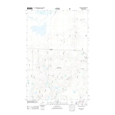
2013 Map of Goose Lake
USGS Topo · Published 2013About this map
Chippewa National Forest dominates this landscape in Cass County, where a complex network of waterways defines the local geography. The area is characterized by an intricate system of lakes and rivers, including the prominent Goose Lake and the meandering Leech Lake River. At the center of the sheet, the crossroads at Elevenmile Corner serves as a primary reference point for the few improved roads that navigate the timberland, such as 72nd Ave NE. The naming conventions of the water bodies suggest a history of local family landmarks and descriptive physical traits, seen in Upper Menton Lake, Lower Milton Lake, and the distinctly named Dirty Nose Lake. This 2013 survey provides a detailed look at the modern forest infrastructure, tracing primitive routes like Forest Rte 2113 through the wetlands and marshes of the Minnesota north woods.
Find a feature on this map
30 named features on this map. Tap any name to fly to it.
Don’t see what you’re looking for? This feature index may not catch every label — zoom into the map to look around manually.
Map Details
Editions of this 2013 Goose Lake Map
This is the sole edition of this map. No revisions or reprints were ever made.
Other maps of this area

1954 · Bemidji
USGS Topo · 1:250,000

1954 · Hibbing
USGS Topo · 1:250,000

1957 · Bemidji
USGS Topo · 1:250,000

1957 · Hibbing
USGS Topo · 1:250,000

1958 · Bemidji
USGS Topo · 1:250,000

1958 · Hibbing
USGS Topo · 1:250,000

1964 · Hibbing
USGS Topo · 1:250,000
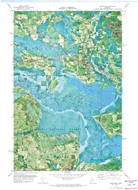
1970 · Deer River
USGS Topo · 1:24,000
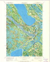
1970 · Ball Club
USGS Topo · 1:24,000
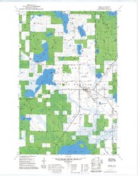
1971 · Remer
USGS Topo · 1:24,000