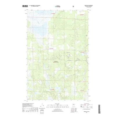
2019 Map of Goose Lake
USGS Topo · Published 2019About this map
The Chippewa National Forest dominates this northern landscape, where a dense network of lakes and waterways defines the topography. The Leech Lake River and Bear River meander through the northern sections, feeding into and out of bodies of water like Goose Lake and Mud Lake. This area is a critical junction for the N Country National Scenic Trail, which threads through the southern portion of the quadrangle, passing near Cedar Lake and Upper Milton Lake.
Find a feature on this map
42 named features on this map. Tap any name to fly to it.
Don’t see what you’re looking for? This feature index may not catch every label — zoom into the map to look around manually.
Map Details
Editions of this 2019 Goose Lake Map
This is the sole edition of this map. No revisions or reprints were ever made.
Other maps of this area

1954 · Bemidji
USGS Topo · 1:250,000
1954 · Hibbing
USGS Topo · 1:250,000

1957 · Bemidji
USGS Topo · 1:250,000
1957 · Hibbing
USGS Topo · 1:250,000

1958 · Bemidji
USGS Topo · 1:250,000
1958 · Hibbing
USGS Topo · 1:250,000
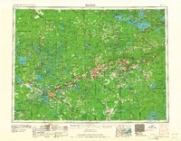
1964 · Hibbing
USGS Topo · 1:250,000
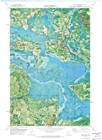
1970 · Deer River
USGS Topo · 1:24,000
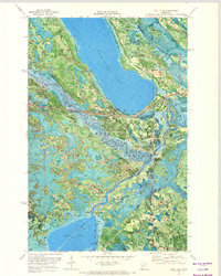
1970 · Ball Club
USGS Topo · 1:24,000
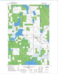
1971 · Remer
USGS Topo · 1:24,000