
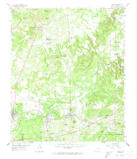
1959 Map of Gordon
USGS Topo · Published 1960About this map
Texas and Pacific rails cut through the heart of the Palo Pinto hills, connecting the industrial nodes of Strawn, Mingus, and Gordon. During the late 1950s, this region was defined by a complex landscape of energy extraction and small-scale agriculture. The presence of the Metcalf Gap Oil Field and scattered coal mines south of Gordon illustrates the dual reliance on fossil fuels that shaped local development.
Find a feature on this map
87 named features on this map. Tap any name to fly to it.
Don’t see what you’re looking for? This feature index may not catch every label — zoom into the map to look around manually.
Map Details
Editions of this 1959 Gordon Map
2 editions found
Other maps of this area

1890 · Stephenville
USGS Topo · 1:125,000

1890 · Breckenridge
USGS Topo · 1:125,000

1891 · Palo Pinto
USGS Topo · 1:125,000

1894 · Eastland
USGS Topo · 1:125,000

1918 · Palo Pinto
USGS Topo · 1:125,000

1920 · Stephenville
USGS Topo · 1:125,000

1924 · Palo Pinto 2-c
USGS Topo · 1:48,000

1924 · Breckenridge 1-d
USGS Topo · 1:48,000

1925 · Palo Pinto 4-b
USGS Topo · 1:48,000

1927 · Pickwick
USGS Topo · 1:62,500