Loading...
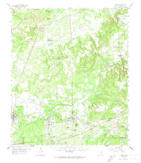
Loading map...1959 Map of Gordon
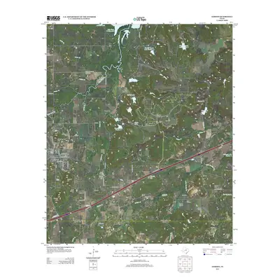
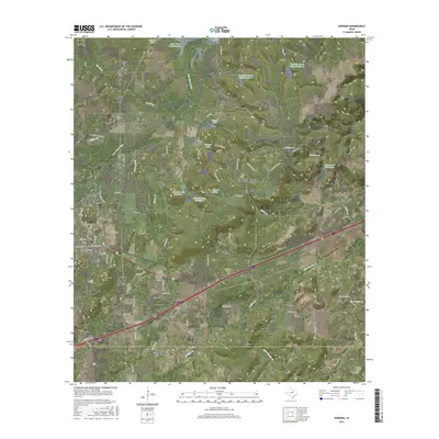
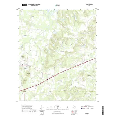
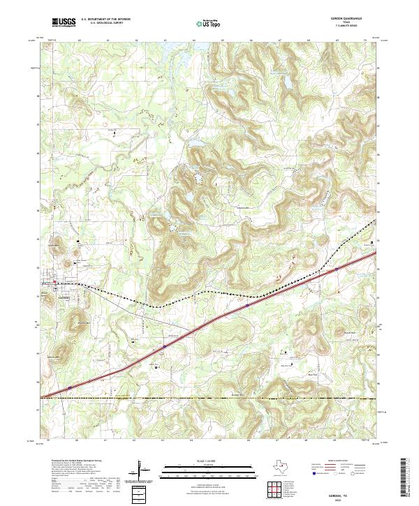
USGS Topo · Published 1974About this map
The Texas and Pacific railroad corridor serves as the industrial backbone for this section of the Palo Pinto Mountains, connecting the established coal-mining and rail hubs of Strawn, Mingus, and Gordon. In the late 1950s, the landscape was a mix of energy extraction and remote rural community life, evidenced by the Metcalf Gap Oil Field to the north and numerous family burial grounds like Hutchins Cem and Davidson Cem.
Find a feature on this map
93 named features on this map. Tap any name to fly to it.
Don’t see what you’re looking for? This feature index may not catch every label — zoom into the map to look around manually.
Map Details
Date Portrayed1959
Date Published1974
PublisherU.S. Geological Survey
Map TypeTopographic
Scale1:62,500
Physical Dimensions18 x 21 inches
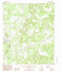
Editions of this 1959 Gordon Map
2 editions found
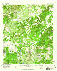
Historical Maps of Strawn Through Time
7 maps found
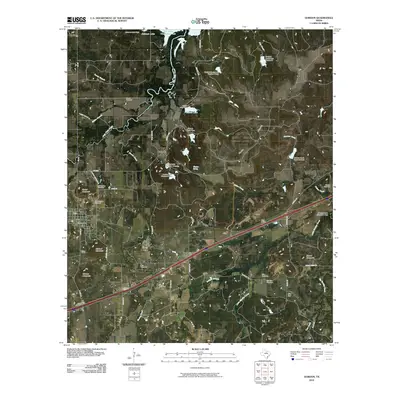
Featured Locations
Source Details
SourceU.S. Geological Survey
CopyrightPublic Domain