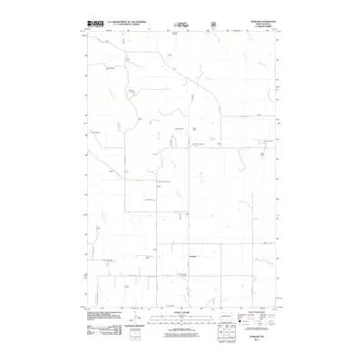
2011 Map of Gorham
USGS Topo · Published 2011About this map
The settlement of Gorham sits at the heart of this rangeland in Billings County, where a system of creeks and rivers carves through the landscape. This 2011 survey documents a community tied to the land, where named homesteads like the Bassaraba Ranch, Haverluk Ranch, and Ewoniuk Ranch define the local geography. The drainage patterns are intricate, led by Magpie Creek in the north and the Green River to the south, with Whitetail Creek and Betsy Creek winding between the properties. Local heritage is preserved at sites like Saint Jacobs Cemetery and Saint Josephat Cemetery, which serve as permanent markers of the families who settled this portion of the Badlands. In addition to agricultural activity, the map identifies the Whitetail Picnic Area and Yourk Dam, suggesting the managed use of water resources and public lands within this rural corridor.
Find a feature on this map
29 named features on this map. Tap any name to fly to it.
Don’t see what you’re looking for? This feature index may not catch every label — zoom into the map to look around manually.
Map Details
Editions of this 2011 Gorham Map
This is the sole edition of this map. No revisions or reprints were ever made.
Other maps of this area

1953 · Watford City
USGS Topo · 1:250,000

1957 · Watford City
USGS Topo · 1:250,000

1963 · Gorham SW
USGS Topo · 1:24,000

1963 · Gorham NW
USGS Topo · 1:24,000

1963 · Fairfield
USGS Topo · 1:24,000

1963 · Gorham SE
USGS Topo · 1:24,000

1963 · Gorham
USGS Topo · 1:24,000

1963 · Rattlesnake Butte
USGS Topo · 1:24,000

1967 · Watford City
USGS Topo · 1:250,000

1974 · Grassy Butte SW
USGS Topo · 1:24,000