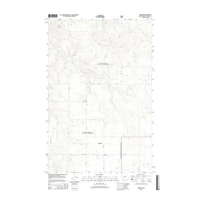
2014 Map of Gorham
USGS Topo · Published 2014About this map
Little Missouri National Grassland dominates this landscape in western North Dakota, where the small settlement of Gorham sits at a crossroads of section-line roads and creek drainages. The topography is defined by the headwaters and tributaries of several prominent waterways, including the winding Green River, Magpie Cr, and Whitetail Cr. This 2014 survey records a sparsely populated ranching and grassland region, where human presence is marked by isolated landmarks and family-history sites. Genealogists and local historians will find the locations of Saint Jacobs Cem and Saint Josephat Cem preserved in relation to the surrounding draws and buttes. The transport network is tied to the terrain, with routes like Magpie Rd and Blacktail Rd navigating the breaks and high ground between Betsy Cr and Blacktail Cr.
Find a feature on this map
24 named features on this map. Tap any name to fly to it.
Don’t see what you’re looking for? This feature index may not catch every label — zoom into the map to look around manually.
Map Details
Editions of this 2014 Gorham Map
This is the sole edition of this map. No revisions or reprints were ever made.
Other maps of this area

1953 · Watford City
USGS Topo · 1:250,000

1957 · Watford City
USGS Topo · 1:250,000
1963 · Gorham SW
USGS Topo · 1:24,000
1963 · Gorham NW
USGS Topo · 1:24,000
1963 · Fairfield
USGS Topo · 1:24,000
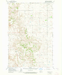
1963 · Gorham SE
USGS Topo · 1:24,000
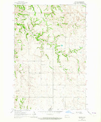
1963 · Gorham
USGS Topo · 1:24,000
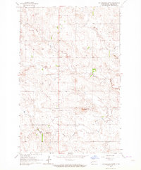
1963 · Rattlesnake Butte
USGS Topo · 1:24,000

1967 · Watford City
USGS Topo · 1:250,000
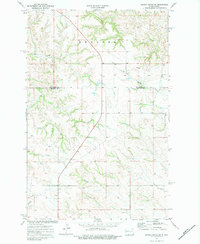
1974 · Grassy Butte SW
USGS Topo · 1:24,000