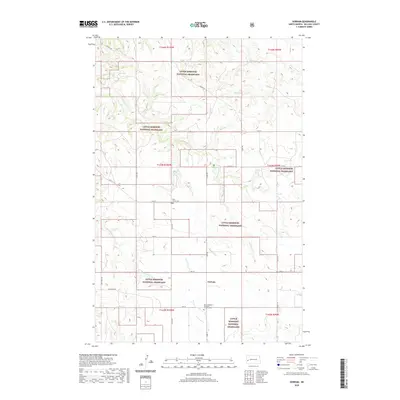
2020 Map of Gorham
USGS Topo · Published 2020About this map
The settlement of Gorham sits within the expansive landscape of the Little Missouri National Grassland in Billings County. This area of North Dakota is characterized by a dense network of watercourses, including the Green River, Whitetail Cr, and Magpie Cr, which dictate the local topography. The map reveals the region's cultural heritage through the presence of the Saint Josephat Ukrainian Catholic Cem, reflecting the specific ethnic settlement patterns common to this part of the Great Plains. A grid of rural roads like Magpie Rd and Blacktail Rd provides access to these isolated sites. Genealogists can also locate the Saint Jacobs Cem, positioned north of the main Gorham area. The drainage systems of Betsy Cr and Blacktail Cr further define the terrain, illustrating the relationship between the natural water supply and the historical ranching and farming infrastructure.
Find a feature on this map
26 named features on this map. Tap any name to fly to it.
Don’t see what you’re looking for? This feature index may not catch every label — zoom into the map to look around manually.
Map Details
Editions of this 2020 Gorham Map
This is the sole edition of this map. No revisions or reprints were ever made.
Other maps of this area

1953 · Watford City
USGS Topo · 1:250,000

1957 · Watford City
USGS Topo · 1:250,000

1963 · Gorham SW
USGS Topo · 1:24,000

1963 · Gorham NW
USGS Topo · 1:24,000

1963 · Fairfield
USGS Topo · 1:24,000

1963 · Gorham SE
USGS Topo · 1:24,000

1963 · Gorham
USGS Topo · 1:24,000

1963 · Rattlesnake Butte
USGS Topo · 1:24,000

1967 · Watford City
USGS Topo · 1:250,000

1974 · Grassy Butte SW
USGS Topo · 1:24,000