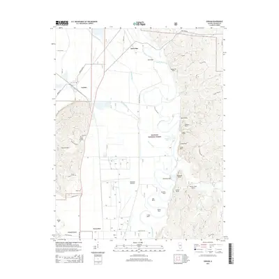
2015 Map of Gorham
USGS Topo · Published 2015About this map
Sand Ridge and the village of Gorham define this landscape along the eastern edge of the Mississippi River floodplain in southern Illinois. The area is dominated by the complex hydrology of the Big Muddy River, which snakes through the eastern half of the map in a series of dramatic meanders, including Horseshoe Bend and Mill Bend. This serpentine watercourse is hemmed in by steep bluffs and distinctive rock formations like Abneyville Rock and Swallow Rock.
Find a feature on this map
58 named features on this map. Tap any name to fly to it.
Don’t see what you’re looking for? This feature index may not catch every label — zoom into the map to look around manually.
Map Details
Editions of this 2015 Gorham Map
This is the sole edition of this map. No revisions or reprints were ever made.
Other maps of this area
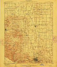
1910 · Murphysboro
USGS Topo · 1:62,500
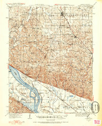
1916 · Campbell Hill
USGS Topo · 1:62,500
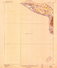
1918 · Altenburg
USGS Topo · 1:62,500
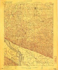
1918 · Campbell Hill
USGS Topo · 1:62,500
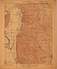
1924 · Alto Pass
USGS Topo · 1:62,500
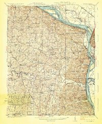
1925 · Altenburg
USGS Topo · 1:62,500
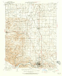
1938 · Murphysboro
USGS Topo · 1:62,500
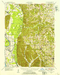
1947 · Alto Pass
USGS Topo · 1:62,500
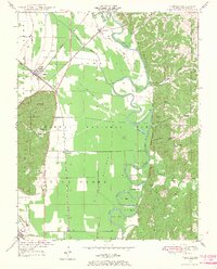
1947 · Gorham
USGS Topo · 1:24,000
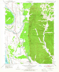
1947 · Wolf Lake
USGS Topo · 1:24,000