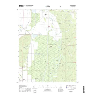
2018 Map of Gorham
USGS Topo · Published 2018About this map
The Big Muddy River dominates this portion of the Shawnee National Forest, winding through a complex network of wetlands and oxbows including Horseshoe Bend, Mill Bend, and Cripps Bend. This river system dictates the local geography, surrounded by specialized environments like the Oakwood Bottoms and the prominent rising of Fountain Bluff. Settlement patterns are concentrated along the margins of these bottomlands, with the communities of Gorham, Sand Ridge, and Grimsby situated near the intersection of the river valley and upland ridges. Genealogists may find value in the scattered burial sites throughout the area, including Goodbread Cem, Henson Cem, and Hudson Cem. The map illustrates a landscape defined by water management and natural drainage, with features such as Worthen Bayou and the Big Muddy Levee Rd protecting the lower-lying agricultural and forested tracts.
Find a feature on this map
72 named features on this map. Tap any name to fly to it.
Don’t see what you’re looking for? This feature index may not catch every label — zoom into the map to look around manually.
Map Details
Editions of this 2018 Gorham Map
This is the sole edition of this map. No revisions or reprints were ever made.
Other maps of this area
1910 · Murphysboro
USGS Topo · 1:62,500
1916 · Campbell Hill
USGS Topo · 1:62,500
1918 · Altenburg
USGS Topo · 1:62,500
1918 · Campbell Hill
USGS Topo · 1:62,500
1924 · Alto Pass
USGS Topo · 1:62,500
1925 · Altenburg
USGS Topo · 1:62,500
1938 · Murphysboro
USGS Topo · 1:62,500
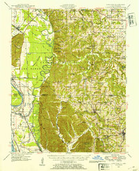
1947 · Alto Pass
USGS Topo · 1:62,500
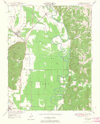
1947 · Gorham
USGS Topo · 1:24,000
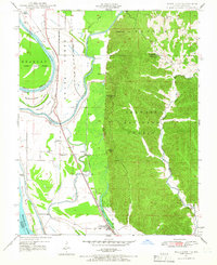
1947 · Wolf Lake
USGS Topo · 1:24,000