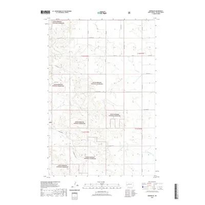
2020 Map of Gorham SE
USGS Topo · Published 2020About this map
Little Missouri National Grassland dominates this section of the North Dakota badlands, where public land is interspersed with private holdings across the t142n r100w and t141n r100w townships. The topography is defined by the headwaters and drainage networks of the Green River, which flows eastward, and its southern tributary, the S Fork Green River. These watercourses carve through the landscape alongside significant coulees, most notably Ash Coulee in the northern half of the quadrangle.
Find a feature on this map
24 named features on this map. Tap any name to fly to it.
Don’t see what you’re looking for? This feature index may not catch every label — zoom into the map to look around manually.
Map Details
Editions of this 2020 Gorham SE Map
This is the sole edition of this map. No revisions or reprints were ever made.
Other maps of this area

1953 · Dickinson
USGS Topo · 1:250,000

1953 · Watford City
USGS Topo · 1:250,000

1957 · Dickinson
USGS Topo · 1:250,000

1957 · Watford City
USGS Topo · 1:250,000

1962 · Fryburg NE
USGS Topo · 1:24,000

1962 · Fryburg NW
USGS Topo · 1:24,000

1962 · Belfield
USGS Topo · 1:24,000

1963 · Gorham SW
USGS Topo · 1:24,000

1963 · Gorham NW
USGS Topo · 1:24,000

1963 · Fairfield
USGS Topo · 1:24,000