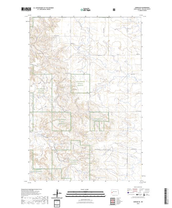
2024 Map of Gorham SE
USGS Topo · Published 2024About this map
Little Missouri National Grassland dominates this portion of Billings County, where a complex network of watercourses and plateaued terrain defines the ranching landscape of western North Dakota. The drainage patterns are clearly marked by the Green River, its tributary the South Fork Green River, and winding draws like Ash Coulee and Franks Creek. These water sources were vital for the early homesteaders and livestock operations that established the section-line road system still visible today. Local transit is dictated by the land's contours, with routes such as Franks Creek Rd and Government Creek Rd threading through the breaks. The map captures the open, communal character of the grasslands, showing the relationship between public land boundaries and the sparse rural infrastructure of Blacktail Rd and 134th Ave.
Find a feature on this map
24 named features on this map. Tap any name to fly to it.
Don’t see what you’re looking for? This feature index may not catch every label — zoom into the map to look around manually.
Map Details
Editions of this 2024 Gorham SE Map
This is the sole edition of this map. No revisions or reprints were ever made.
Other maps of this area

1953 · Dickinson
USGS Topo · 1:250,000

1953 · Watford City
USGS Topo · 1:250,000

1957 · Dickinson
USGS Topo · 1:250,000

1957 · Watford City
USGS Topo · 1:250,000

1962 · Fryburg NE
USGS Topo · 1:24,000

1962 · Fryburg NW
USGS Topo · 1:24,000

1962 · Belfield
USGS Topo · 1:24,000

1963 · Gorham SW
USGS Topo · 1:24,000

1963 · Gorham NW
USGS Topo · 1:24,000

1963 · Fairfield
USGS Topo · 1:24,000