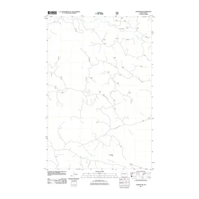
2011 Map of Gorham SW
USGS Topo · Published 2011About this map
Big Stick Oilfield and the Theodore Roosevelt Oil Field anchor this 2011 survey of Billings County, North Dakota, illustrating the region's industrial footprint in the heart of the Williston Basin. The landscape is defined by its drainage network, where the waters of Ash Coulee and Dawsons Waterhole flow through a terrain carved by Franks Creek and Government Creek. These waterways provide a stark contrast to the infrastructure of the oil industry scattered across the prairie.
Find a feature on this map
13 named features on this map. Tap any name to fly to it.
Don’t see what you’re looking for? This feature index may not catch every label — zoom into the map to look around manually.
Map Details
Editions of this 2011 Gorham SW Map
This is the sole edition of this map. No revisions or reprints were ever made.
Other maps of this area

1953 · Dickinson
USGS Topo · 1:250,000

1953 · Watford City
USGS Topo · 1:250,000

1957 · Dickinson
USGS Topo · 1:250,000

1957 · Watford City
USGS Topo · 1:250,000

1962 · Fryburg NE
USGS Topo · 1:24,000

1962 · Fryburg NW
USGS Topo · 1:24,000

1963 · Gorham SW
USGS Topo · 1:24,000

1963 · Gorham NW
USGS Topo · 1:24,000

1963 · Gorham SE
USGS Topo · 1:24,000

1963 · Gorham
USGS Topo · 1:24,000