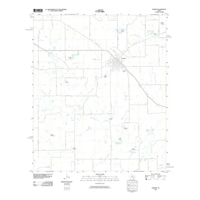
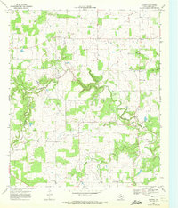
2010 Map of Gorman
USGS Topo · Published 2010About this map
Gorman serves as the central hub of this Eastland County landscape, where the local economy and geography are defined by a network of small water management systems. The town is surrounded by numerous private and municipal water features, including Birdsong Lake, Warren Lake, and the W E Dennis Reservoir, each with its own corresponding dam. The Sabana River winds through the southern portion of the quadrangle, joined by tributaries such as Currycomb Branch and Shinoak Branch.
Find a feature on this map
63 named features on this map. Tap any name to fly to it.
Don’t see what you’re looking for? This feature index may not catch every label — zoom into the map to look around manually.
Map Details
Editions of this 2010 Gorman Map
This is the sole edition of this map. No revisions or reprints were ever made.
Other maps of this area

1894 · Eastland
USGS Topo · 1:125,000

1954 · Abilene
USGS Topo · 1:250,000

1958 · Abilene
USGS Topo · 1:250,000

1966 · Sipe Springs
USGS Topo · 1:24,000

1966 · Kokomo
USGS Topo · 1:24,000
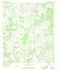
1966 · Desdemona
USGS Topo · 1:24,000

1966 · Carbon
USGS Topo · 1:24,000
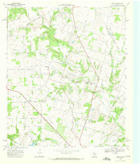
1968 · Rucker
USGS Topo · 1:24,000
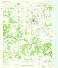
1968 · Gorman
USGS Topo · 1:24,000
1969 · Duster
USGS Topo · 1:24,000