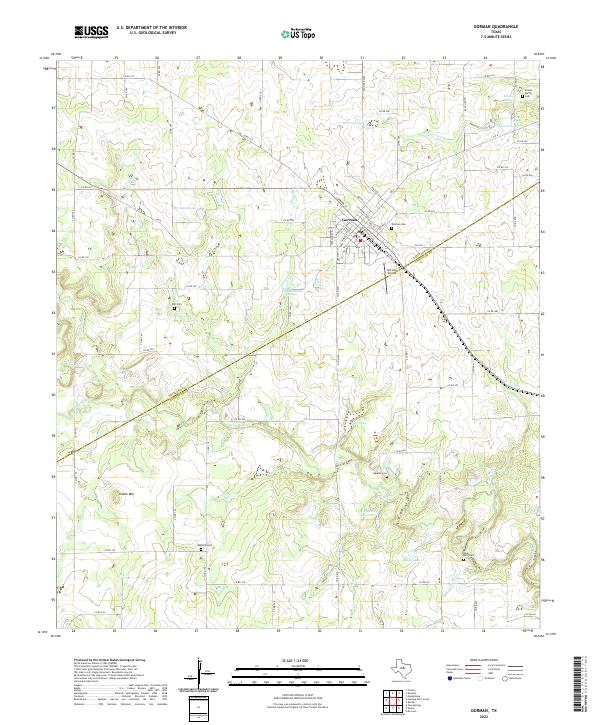
2022 Map of Gorman
USGS Topo · Published 2022About this map
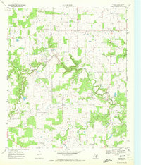
Gorman serves as the central hub of this West Texas landscape, situated along the border of Eastland and Comanche Counties. The town's grid is bounded by FM 8 and Ranch Rd 2689, supporting a rural economy tied to the drainage of the Sabana River and its tributaries like Shinoak Br. Significant water management is evident at the W E Dennis Reservoir and smaller bodies such as Davis Lake and Birdsong Lake, which dot the terrain alongside local aviation infrastructure at the Gorman Airport.
Find a feature on this map
79 named features on this map. Tap any name to fly to it.
Don’t see what you’re looking for? This feature index may not catch every label — zoom into the map to look around manually.
Map Details
Editions of this 2022 Gorman Map
This is the sole edition of this map. No revisions or reprints were ever made.
Other maps of this area

1894 · Eastland
USGS Topo · 1:125,000

1954 · Abilene
USGS Topo · 1:250,000

1958 · Abilene
USGS Topo · 1:250,000

1966 · Sipe Springs
USGS Topo · 1:24,000

1966 · Kokomo
USGS Topo · 1:24,000
1966 · Desdemona
USGS Topo · 1:24,000

1966 · Carbon
USGS Topo · 1:24,000
1968 · Rucker
USGS Topo · 1:24,000
1968 · Gorman
USGS Topo · 1:24,000
1969 · Duster
USGS Topo · 1:24,000