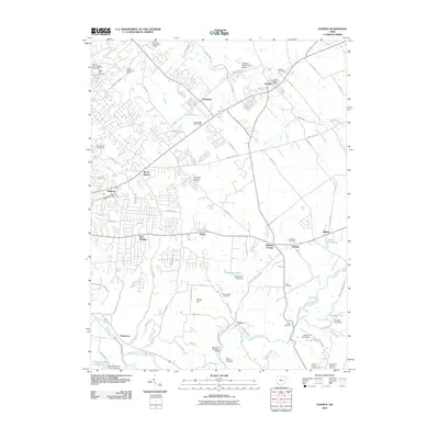
2010 Map of Goshen
USGS Topo · Published 2010About this map
Goshen serves as a central hub in this Clermont County landscape, where the confluence of suburban growth and traditional rural layouts is clearly visible. The area is marked by a high density of ancestral sites, including Goshen Cemetery, Olive Cemetery, and Saint Philomena Cemetery, which provide significant touchpoints for local genealogical research. In the south, the East Fork Little Miami River winds toward Perintown, where the Stonelick-Perintown Bridge crosses the water near the Cincinnati Nature Center.
Find a feature on this map
104 named features on this map. Tap any name to fly to it.
Don’t see what you’re looking for? This feature index may not catch every label — zoom into the map to look around manually.
Map Details
Editions of this 2010 Goshen Map
This is the sole edition of this map. No revisions or reprints were ever made.
Other maps of this area

1898 · East Cincinnati
USGS Topo · 1:62,500

1904 · Mason
USGS Topo · 1:62,500

1906 · Mason
USGS Topo · 1:62,500

1914 · East Cincinnati
USGS Topo · 1:62,500

1914 · Batavia
USGS Topo · 1:48,000

1914 · Morrow
USGS Topo · 1:62,500

1916 · Batavia
USGS Topo · 1:62,500

1916 · Morrow
USGS Topo · 1:62,500

1953 · Withamsville
USGS Topo · 1:24,000

1953 · Goshen
USGS Topo · 1:24,000
Featured Places
- Stonelick Township, OH
- Mulberry, OH
- Owensville, Stonelick Township
- Miami Township, OH
- Union Township, OH