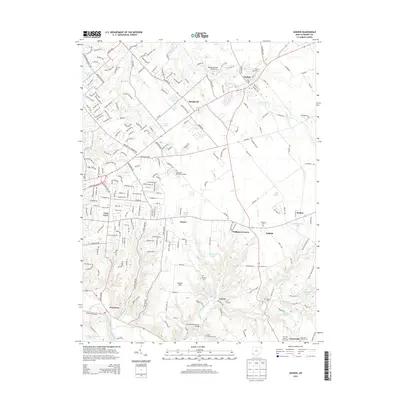
2013 Map of Goshen
USGS Topo · Published 2013About this map
Goshen sits as a central hub in this Clermont County landscape, where the residential expansion of the early 21st century meets established rural townships. The drainage of O'Bannon Cr and Stonelick Creek shapes the local topography, with several small lakes and ponds such as Red R Lake and Wiemeyer Pond scattered throughout the territory. The settlement pattern shows a distinct mix of unincorporated communities like Springvale, Elenor, and Craver, often centered on historic road junctions like Woodville Pike. Cultural and historical markers are prevalent, including several denominational and community burial grounds such as Saint Philomena Cem and Goshen Cem. The southern reach of the map is defined by the East Fork Little Miami River, providing a natural boundary near the Cincinnati Nature Center, while the Clermont County Fairgrounds near Owensville marks a significant local gathering point.
Find a feature on this map
78 named features on this map. Tap any name to fly to it.
Don’t see what you’re looking for? This feature index may not catch every label — zoom into the map to look around manually.
Map Details
Editions of this 2013 Goshen Map
This is the sole edition of this map. No revisions or reprints were ever made.
Other maps of this area

1898 · East Cincinnati
USGS Topo · 1:62,500

1904 · Mason
USGS Topo · 1:62,500

1906 · Mason
USGS Topo · 1:62,500

1914 · East Cincinnati
USGS Topo · 1:62,500

1914 · Batavia
USGS Topo · 1:48,000

1914 · Morrow
USGS Topo · 1:62,500

1916 · Batavia
USGS Topo · 1:62,500

1916 · Morrow
USGS Topo · 1:62,500

1953 · Withamsville
USGS Topo · 1:24,000

1953 · Goshen
USGS Topo · 1:24,000
Featured Places
- Stonelick Township, OH
- Mulberry, OH
- Owensville, Stonelick Township
- Miami Township, OH
- Union Township, OH