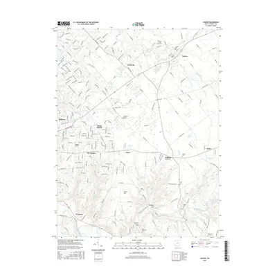
2016 Map of Goshen
USGS Topo · Published 2016About this map
Goshen serves as a primary hub in this Clermont County landscape, where the transition from traditional agriculture to residential development is clearly visible. The area is defined by the East Fork Little Miami River carving through the southern reaches near Perintown, while O'Bannon Creek shapes the northern terrain near the Obannon Creek Aerodrome.
Find a feature on this map
204 named features on this map. Tap any name to fly to it.
Don’t see what you’re looking for? This feature index may not catch every label — zoom into the map to look around manually.
Map Details
Editions of this 2016 Goshen Map
This is the sole edition of this map. No revisions or reprints were ever made.
Other maps of this area

1898 · East Cincinnati
USGS Topo · 1:62,500

1904 · Mason
USGS Topo · 1:62,500

1906 · Mason
USGS Topo · 1:62,500

1914 · East Cincinnati
USGS Topo · 1:62,500

1914 · Batavia
USGS Topo · 1:48,000

1914 · Morrow
USGS Topo · 1:62,500

1916 · Batavia
USGS Topo · 1:62,500

1916 · Morrow
USGS Topo · 1:62,500

1953 · Withamsville
USGS Topo · 1:24,000

1953 · Goshen
USGS Topo · 1:24,000
Featured Places
- Stonelick Township, OH
- Mulberry, OH
- Owensville, Stonelick Township
- Miami Township, OH
- Union Township, OH