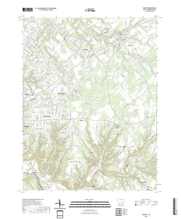
2023 Map of Goshen
USGS Topo · Published 2023About this map
Goshen and its surrounding Clermont County townships are defined by a complex network of residential growth and long-established rural landmarks. The landscape is deeply carved by water, ranging from the O'Bannon Creek in the north to the East Fork Little Miami River along the southern boundary. This area serves as a significant record for genealogists, as it contains numerous burial grounds like Saint Philomena Cem and Saint Louis Catholic Cem, alongside smaller family or community plots such as Simpkins Cem and Rapp Cem.
Find a feature on this map
215 named features on this map. Tap any name to fly to it.
Don’t see what you’re looking for? This feature index may not catch every label — zoom into the map to look around manually.
Map Details
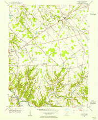
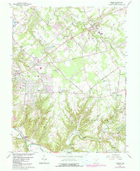
Editions of this 2023 Goshen Map
This is the sole edition of this map. No revisions or reprints were ever made.
Historical Maps of Elenor Through Time
3 maps found
Featured Locations
- Miami Township, OH
- Stonelick Township, OH
- Union Township, OH
- Mulberry, Miami Township
- Owensville, Stonelick Township