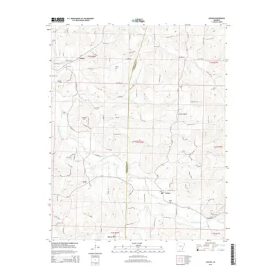
2014 Map of Goshen
USGS Topo · Published 2014About this map
Richland Creek and its many tributaries, including Cherry Cr and Tuttle Br, carve through the uplands of the Washington and Madison County line. This 2014 survey documents the rural character of the area surrounding Goshen, Wesley, and the settlement at Tuttle. The landscape is defined by prominent peaks like Benson Mtn—topped by the Benson Lookout Tower—and Trammel Mtn. Genealogists will find a wealth of local landmarks, from Tisdale Ford on the western edge to several family-named burial grounds such as Culwell Cem, Boatrigth Cem, and the Johnson Cem. The road network, including Ar-45 and Old Mill Rd, reflects the area's transition from early agricultural routes to modern connectors, while labels like Sinking Cr highlight the region's distinct karst-like hydrology.
Find a feature on this map
114 named features on this map. Tap any name to fly to it.
Don’t see what you’re looking for? This feature index may not catch every label — zoom into the map to look around manually.
Map Details
Editions of this 2014 Goshen Map
This is the sole edition of this map. No revisions or reprints were ever made.
Other maps of this area
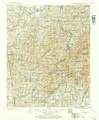
1898 · Winslow
USGS Topo · 1:125,000
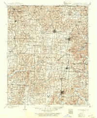
1899 · Fayetteville
USGS Topo · 1:125,000
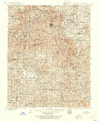
1900 · Eureka Springs
USGS Topo · 1:125,000
1901 · Winslow
USGS Topo · 1:125,000
1901 · Eureka Springs
USGS Topo · 1:125,000
1901 · Fayetteville
USGS Topo · 1:125,000
1904 · Fayetteville
USGS Topo · 1:125,000
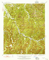
1943 · St. Paul
USGS Topo · 1:62,500

1945 · Harrison
USGS Topo · 1:250,000
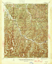
1946 · St. Paul
USGS Topo · 1:62,500