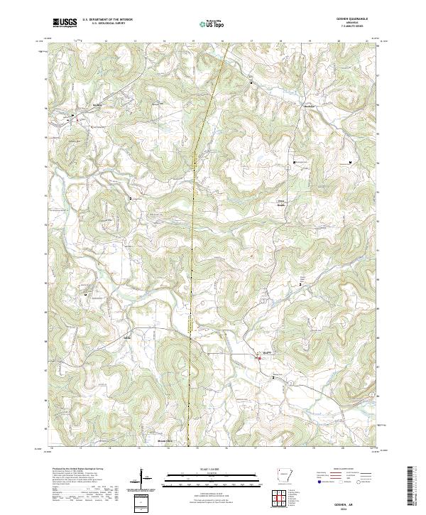
2024 Map of Goshen
USGS Topo · Published 2024About this map
Goshen lies in a landscape defined by the winding waters of Richland Creek and its many tributaries, reflecting the rural character of Washington and Madison counties. This modern topographic study shows a community deeply rooted in its local geography, where settlements like Wesley, Tuttle, and Buckeye are connected by a network of county roads that navigate between high points like Benson Mtn and Gilliam Mtn.
Find a feature on this map
123 named features on this map. Tap any name to fly to it.
Don’t see what you’re looking for? This feature index may not catch every label — zoom into the map to look around manually.
Map Details
Editions of this 2024 Goshen Map
This is the sole edition of this map. No revisions or reprints were ever made.
Other maps of this area

1898 · Winslow
USGS Topo · 1:125,000

1899 · Fayetteville
USGS Topo · 1:125,000

1900 · Eureka Springs
USGS Topo · 1:125,000

1901 · Winslow
USGS Topo · 1:125,000

1901 · Eureka Springs
USGS Topo · 1:125,000

1901 · Fayetteville
USGS Topo · 1:125,000

1904 · Fayetteville
USGS Topo · 1:125,000

1943 · St. Paul
USGS Topo · 1:62,500

1945 · Harrison
USGS Topo · 1:250,000

1946 · St. Paul
USGS Topo · 1:62,500