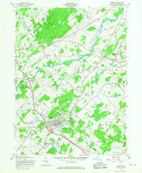
1957 Map of Goshen
USGS Topo · Published 1968About this map
The village of Goshen serves as a dense hub of civic and recreational activity in the late 1950s, defined by its notable horse racing heritage at the Historic Track and Good Time Park. The surrounding landscape is a complex network of dairy-country hamlets and transportation corridors, where the Erie RR and NY NH & H RR intersect at Campbell Hall Junction. This era shows the community's established social fabric through institutions like Blessed Sacrament Academy and several parochial cemeteries including St Johns Cem and St James Cem.
Find a feature on this map
59 named features on this map. Tap any name to fly to it.
Don’t see what you’re looking for? This feature index may not catch every label — zoom into the map to look around manually.
Map Details
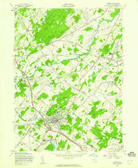
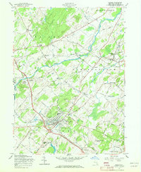
Editions of this 1957 Goshen Map
3 editions found
Other maps of this area

1902 · Schunemunk
USGS Topo · 1:62,500

1903 · Newburg
USGS Topo · 1:62,500

1904 · Ellenville
USGS Topo · 1:62,500

1906 · Ellenville
USGS Topo · 1:62,500

1906 · Goshen
USGS Topo · 1:62,500

1908 · Goshen
USGS Topo · 1:62,500

1930 · Schunemunk
USGS Topo · 1:48,000

1935 · Schunemunk
USGS Topo · 1:62,500

1938 · Goshen
USGS Topo · 1:62,500

1942 · Pine Island
USGS Topo · 1:24,000