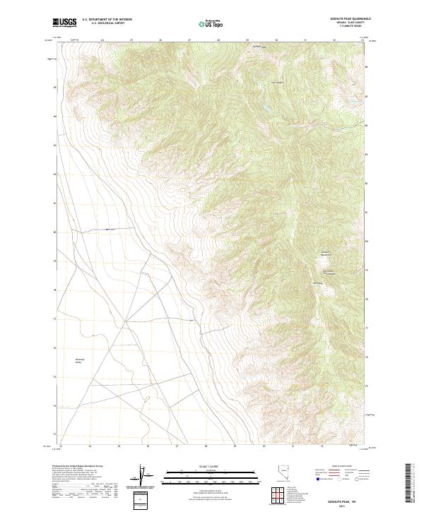
2021 Map of Goshute Peak
USGS Topo · Published 2021About this map
Goshute Peak anchors the high northern ridge of the Goshute Mountains in this remote stretch of eastern Elko County. The landscape is defined by dramatic elevation changes as the mountains drop sharply westward into the wide expanse of Antelope Valley. Water sources are critical but scarce in this high desert environment, represented by the isolated Felt Spring and the drainage of Felt Wash through Felt Canyon.
Find a feature on this map
12 named features on this map. Tap any name to fly to it.
Don’t see what you’re looking for? This feature index may not catch every label — zoom into the map to look around manually.
Map Details
Editions of this 2021 Goshute Peak Map
This is the sole edition of this map. No revisions or reprints were ever made.
Other maps of this area

1955 · Elko
USGS Topo · 1:250,000

1958 · Elko
USGS Topo · 1:250,000

1962 · Elko
USGS Topo · 1:250,000

1965 · Elko
USGS Topo · 1:250,000

1972 · Lion Spring
USGS Topo · 1:24,000

1972 · White Horse Pass
USGS Topo · 1:24,000

1972 · Ferguson Mtn.
USGS Topo · 1:24,000
1972 · Spring Gulch
USGS Topo · 1:24,000

1972 · Decoy SW
USGS Topo · 1:24,000
1982 · Goshute Peak
USGS Topo · 1:24,000