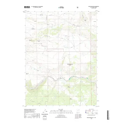
2020 Map of Goslin Mountain
USGS Topo · Published 2020About this map
The Green River carves a deep path through this corner of the Ashley National Forest, revealing a landscape of high plateaus and secluded draws. North of the river, the terrain rises sharply toward Goslin Mtn and Dutch John Mtn, separated by the deep incision of Dutch John Canyon. This area is defined by its water sources, with names like Ford Spring, Cow Spring, and Dripping Spring indicating the vital points of life in an otherwise arid upland.
Find a feature on this map
38 named features on this map. Tap any name to fly to it.
Don’t see what you’re looking for? This feature index may not catch every label — zoom into the map to look around manually.
Map Details
Editions of this 2020 Goslin Mountain Map
This is the sole edition of this map. No revisions or reprints were ever made.
Other maps of this area

1885 · Ashley
USGS Topo · 1:250,000
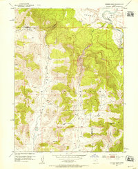
1952 · Warren Draw
USGS Topo · 1:24,000
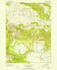
1952 · Clay Basin
USGS Topo · 1:24,000
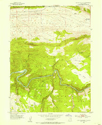
1952 · Dutch John Mtn
USGS Topo · 1:24,000
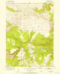
1952 · Goslin Mtn
USGS Topo · 1:24,000

1954 · Vernal
USGS Topo · 1:250,000
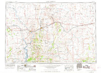
1954 · Rock Springs
USGS Topo · 1:250,000
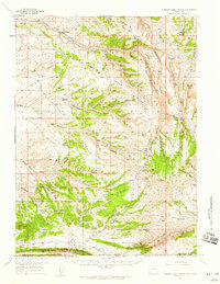
1957 · Currant Creek Ranch
USGS Topo · 1:62,500
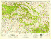
1958 · Vernal
USGS Topo · 1:250,000
1958 · Rock Springs
USGS Topo · 1:250,000