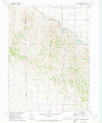
1970 Map of Gothenburg SW
USGS Topo · Published 1973About this map
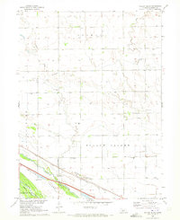
Agricultural development and water management define this portion of the Nebraska plains, where the Tri County Supply Canal and Thirtymile Canal trace the upper contours of the landscape. These engineering works brought irrigation to the tablelands between Peckham and Fairview, altering the natural drainage patterns of the area. The map illustrates a transition from the dissected terrain of Tree Canyon and East Smith Canyon in the north to the more open reaches of North Plum Creek toward the southern boundary near Farnam.
Find a feature on this map
15 named features on this map. Tap any name to fly to it.
Don’t see what you’re looking for? This feature index may not catch every label — zoom into the map to look around manually.
Map Details
Editions of this 1970 Gothenburg SW Map
This is the sole edition of this map. No revisions or reprints were ever made.
Other maps of this area

1902 · Gothenburg
USGS Topo · 1:125,000

1954 · McCook
USGS Topo · 1:250,000

1956 · Stockville NE
USGS Topo · 1:24,000

1957 · McCook
USGS Topo · 1:250,000

1958 · McCook
USGS Topo · 1:250,000
1970 · Gothenburg
USGS Topo · 1:24,000
1970 · Eustis
USGS Topo · 1:24,000
1970 · Jeffrey Reservoir SE
USGS Topo · 1:24,000
1970 · Willow Island
USGS Topo · 1:24,000
1970 · Gothenburg SE
USGS Topo · 1:24,000