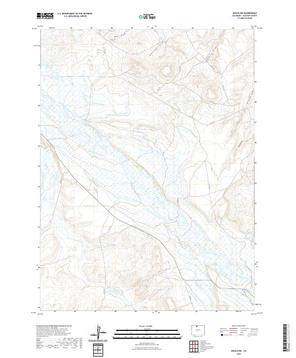
2022 Map of Gould NW
USGS Topo · Published 2022About this map
The Michigan River and its many distributaries dominate this Jackson County landscape, revealing an intricate network of early 20th-century irrigation engineering. This high-country basin is defined by an extensive system of man-made waterways, including the Wales Ditch, Hugh Griffith Ditch, and the Michigan Association Ditch. These features reflect the area's agricultural development and water rights history, where every major stream flow is channeled to support the surrounding plains. The confluence of the Illinois River and Michigan River near the western boundary, alongside features like the Jackson Reservoir, illustrates the vital importance of water management in this high-altitude environment. Researchers can trace the legacy of local landholders through family-named features such as the Nellie E Ditch, Mathews Ditch, and Bostwick Ditch, which crisscross the territory between various draws like Mann Draw and Sudduth Draw.
Find a feature on this map
59 named features on this map. Tap any name to fly to it.
Don’t see what you’re looking for? This feature index may not catch every label — zoom into the map to look around manually.
Map Details
Editions of this 2022 Gould NW Map
This is the sole edition of this map. No revisions or reprints were ever made.
Other maps of this area

1954 · Craig
USGS Topo · 1:250,000

1955 · Eagle Hill
USGS Topo · 1:24,000

1955 · Gould
USGS Topo · 1:24,000

1955 · Owl Ridge
USGS Topo · 1:24,000

1955 · Shipman Mountain
USGS Topo · 1:24,000

1955 · Gould NW
USGS Topo · 1:24,000

1955 · Walden
USGS Topo · 1:24,000

1955 · Mac Farlane Reservoir
USGS Topo · 1:24,000

1955 · Kings Canyon
USGS Topo · 1:62,500

1955 · Walden
USGS Topo · 1:62,500