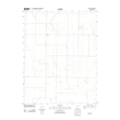
2012 Map of Gove SE
USGS Topo · Published 2012About this map
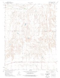
The Smoky Hill River flows across this section of Gove County, cutting through the High Plains landscape of western Kansas. In this quiet agricultural region, the terrain is defined by the winding course of Indian Cr as it makes its way toward the larger river valley to the south. This survey captures a rural landscape where section-line roads like Co RD-499 and Co RD-466 form the backbone of local movement between expansive ranching and farming tracts. Genealogists and local historians will find the locations of Morning Star Cem in the north and Alanthus Cem near the river, both serving as important markers of the early families who settled this prairie. The absence of concentrated town centers emphasizes the area's enduring character as a sparsely populated, open range environment typical of the central plains in the early 21st century.
Find a feature on this map
12 named features on this map. Tap any name to fly to it.
Don’t see what you’re looking for? This feature index may not catch every label — zoom into the map to look around manually.
Map Details
Editions of this 2012 Gove SE Map
This is the sole edition of this map. No revisions or reprints were ever made.
Other maps of this area

1955 · Scott City
USGS Topo · 1:250,000

1958 · Scott City
USGS Topo · 1:250,000
1972 · Gove NE
USGS Topo · 1:24,000
1972 · Castle Rock NW
USGS Topo · 1:24,000
1972 · Gove
USGS Topo · 1:24,000
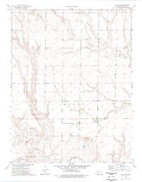
1974 · Gove SW
USGS Topo · 1:24,000
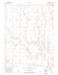
1974 · Gove SE
USGS Topo · 1:24,000
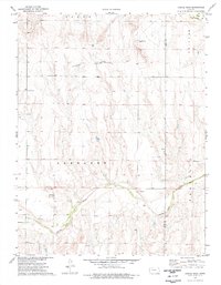
1974 · Castle Rock
USGS Topo · 1:24,000
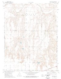
1974 · Shields NW
USGS Topo · 1:24,000
1974 · Pendennis
USGS Topo · 1:24,000