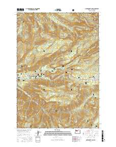
2017 Map of Government Camp
USGS Topo · Published 2017About this map
Government Camp and the surrounding high-elevation landscape of the Mount Hood National Forest are shown here as they appeared in 2017. The map documents the intricate network of glacial drainages and ridges defining this portion of the Cascades, including the deep Zigzag Canyon and the prominent Laurel Hill. For hikers and local historians, the route of the Pacific Crest National Scenic Trail is clearly delineated as it traverses the northern ridges near Slide Mountain and the Sandy River.
Find a feature on this map
65 named features on this map. Tap any name to fly to it.
Don’t see what you’re looking for? This feature index may not catch every label — zoom into the map to look around manually.
Map Details
Editions of this 2017 Government Camp Map
This is the sole edition of this map. No revisions or reprints were ever made.
Other maps of this area
1924 · Mount Hood
USGS Topo · 1:125,000
1927 · Mount Hood
USGS Topo · 1:125,000
1953 · The Dalles
USGS Topo · 1:250,000
1956 · The Dalles
USGS Topo · 1:250,000
1956 · High Rock
USGS Topo · 1:62,500
1956 · Mt. Wilson
USGS Topo · 1:62,500
1957 · The Dalles
USGS Topo · 1:250,000
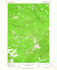
1962 · Hickman Butte
USGS Topo · 1:24,000
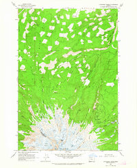
1962 · Cathedral Ridge
USGS Topo · 1:24,000
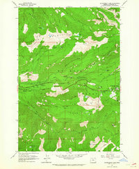
1962 · Government Camp
USGS Topo · 1:24,000