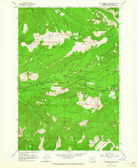
1962 Map of Government Camp
USGS Topo · Published 1964About this map
Government Camp sits as a high-altitude outpost at the edge of the Mount Hood National Forest, serving as a hub for mountaineering and forestry in the early 1960s. The landscape is defined by the sharp ridges of Zigzag Mountain and Tom Dick Mountain, where fire lookouts like Zigzag East Lookout and Devils Peak Lookout provided critical surveillance of the timbered slopes. This era of forest management is evident in the network of fire roads and recreational infrastructure, including numerous primitive camps such as Barlow Campground and Twin Bridges Campground.
Find a feature on this map
51 named features on this map. Tap any name to fly to it.
Don’t see what you’re looking for? This feature index may not catch every label — zoom into the map to look around manually.
Map Details
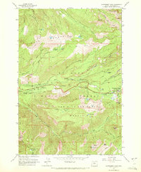
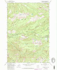
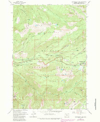
Editions of this 1962 Government Camp Map
4 editions found
Other maps of this area

1924 · Mount Hood
USGS Topo · 1:125,000

1927 · Mount Hood
USGS Topo · 1:125,000

1953 · The Dalles
USGS Topo · 1:250,000

1956 · The Dalles
USGS Topo · 1:250,000

1956 · High Rock
USGS Topo · 1:62,500

1956 · Mt. Wilson
USGS Topo · 1:62,500

1957 · The Dalles
USGS Topo · 1:250,000
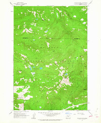
1962 · Hickman Butte
USGS Topo · 1:24,000

1962 · Cathedral Ridge
USGS Topo · 1:24,000
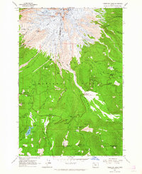
1962 · Timberline Lodge
USGS Topo · 1:24,000