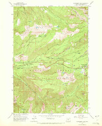
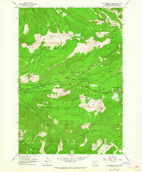
1962 Map of Government Camp
USGS Topo · Published 1972About this map
Government Camp serves as the focal point for this early 1960s survey of the southwestern slopes of Mt. Hood. The landscape is defined by its recreation and transit history, clearly showing the intersection of the Barlow Road and the Pioneer Bridle Road. These routes, etched into the steep terrain of Laurel Hill, highlight the traditional passage through the Cascades. High-altitude landmarks like Zigzag East Lookout and the oddly named Tom Dick and Harry Mountain overlook a network of alpine waters, including Mirror Lake and Enid Lake. The presence of several established sites such as Barlow Campground and Twin Bridges Campground reflects the era's mid-century focus on forest accessibility, while specialized infrastructure like a Heliport and a Sewage Disposal site near Collins Lake documents the modern development of the mountain community.
Find a feature on this map
59 named features on this map. Tap any name to fly to it.
Don’t see what you’re looking for? This feature index may not catch every label — zoom into the map to look around manually.
Map Details
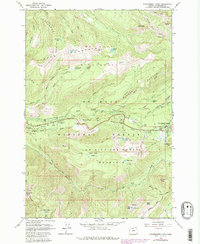
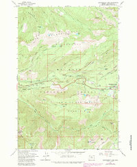
Editions of this 1962 Government Camp Map
4 editions found
Other maps of this area

1924 · Mount Hood
USGS Topo · 1:125,000

1927 · Mount Hood
USGS Topo · 1:125,000

1953 · The Dalles
USGS Topo · 1:250,000

1956 · The Dalles
USGS Topo · 1:250,000

1956 · High Rock
USGS Topo · 1:62,500

1956 · Mt. Wilson
USGS Topo · 1:62,500

1957 · The Dalles
USGS Topo · 1:250,000
1962 · Hickman Butte
USGS Topo · 1:24,000

1962 · Cathedral Ridge
USGS Topo · 1:24,000
1962 · Government Camp
USGS Topo · 1:24,000