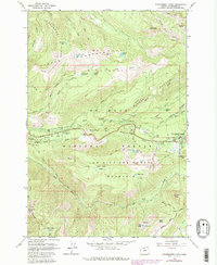
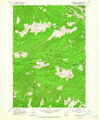
1962 Map of Government Camp
USGS Topo · Published 1980About this map
Government Camp serves as a central hub for outdoor activity within the Mt Hood National Forest during this mid-century period. The landscape is defined by the historic transit corridor of Laurel Hill and the Zigzag River, where the Pioneer Bridle Trail traces the lower slopes. Settlement and recreation are clustered along the Still Creek Road, featuring a series of established campsites like Barlow Campground and Still Creek Campground that reflect the area's development as a premier mountain destination.
Find a feature on this map
62 named features on this map. Tap any name to fly to it.
Don’t see what you’re looking for? This feature index may not catch every label — zoom into the map to look around manually.
Map Details
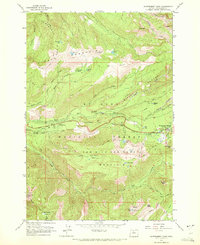
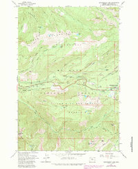
Editions of this 1962 Government Camp Map
4 editions found
Other maps of this area

1924 · Mount Hood
USGS Topo · 1:125,000

1927 · Mount Hood
USGS Topo · 1:125,000

1953 · The Dalles
USGS Topo · 1:250,000

1956 · The Dalles
USGS Topo · 1:250,000

1956 · High Rock
USGS Topo · 1:62,500

1956 · Mt. Wilson
USGS Topo · 1:62,500

1957 · The Dalles
USGS Topo · 1:250,000
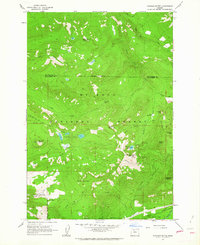
1962 · Hickman Butte
USGS Topo · 1:24,000

1962 · Cathedral Ridge
USGS Topo · 1:24,000
1962 · Government Camp
USGS Topo · 1:24,000