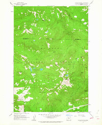
1962 Map of Hickman Butte
USGS Topo · Published 1963About this map
Mt Hood National Forest dominates this mountain landscape, which was meticulously field checked in 1962 during a period of transition in forest management and recreational access. High-altitude landmarks such as the Hickman Butte Lookout on Hickman Butte and Burnt Peak provide oversight of the complex drainage networks feeding the Bull Run River and Sandy River. The presence of Red Cedar Camp and the winding Big Bend Trail suggests the area's ongoing importance for backcountry travel and resource administration.
Find a feature on this map
39 named features on this map. Tap any name to fly to it.
Don’t see what you’re looking for? This feature index may not catch every label — zoom into the map to look around manually.
Map Details
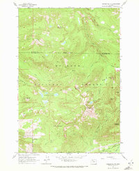
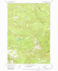
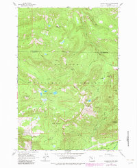
Editions of this 1962 Hickman Butte Map
4 editions found
Other maps of this area

1916 · Estacada
USGS Topo · 1:125,000

1924 · Mount Hood
USGS Topo · 1:125,000

1926 · Hood River
USGS Topo · 1:125,000

1927 · Mount Hood
USGS Topo · 1:125,000

1929 · Hood River
USGS Topo · 1:125,000

1948 · Vancouver
USGS Topo · 1:250,000

1950 · Vancouver
USGS Topo · 1:250,000

1950 · Vancouver
USGS Topo · 1:250,000

1953 · The Dalles
USGS Topo · 1:250,000

1954 · Bridal Veil
USGS Topo · 1:62,500