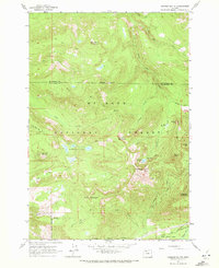
1962 Map of Hickman Butte
USGS Topo · Published 1972About this map
Mt Hood National Forest dominates this section of the western Cascades, where the Bull Run River and its tributaries carve deep drainages through high peaks. The topography is defined by significant elevations such as Hickman Butte, which featured a lookout station during this era, and Big Bend Mountain to the north. A primitive network of forest infrastructure is visible, including the Big Bend Trail and Red Cedar Camp, illustrating the region's historical role in water resource management and forestry.
Find a feature on this map
39 named features on this map. Tap any name to fly to it.
Don’t see what you’re looking for? This feature index may not catch every label — zoom into the map to look around manually.
Map Details
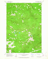
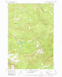
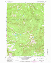
Editions of this 1962 Hickman Butte Map
4 editions found
Other maps of this area

1916 · Estacada
USGS Topo · 1:125,000

1924 · Mount Hood
USGS Topo · 1:125,000

1926 · Hood River
USGS Topo · 1:125,000

1927 · Mount Hood
USGS Topo · 1:125,000

1929 · Hood River
USGS Topo · 1:125,000

1948 · Vancouver
USGS Topo · 1:250,000

1950 · Vancouver
USGS Topo · 1:250,000

1950 · Vancouver
USGS Topo · 1:250,000

1953 · The Dalles
USGS Topo · 1:250,000

1954 · Bridal Veil
USGS Topo · 1:62,500