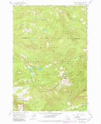
1962 Map of Hickman Butte
USGS Topo · Published 1980About this map
Mt Hood National Forest defines this high-elevation landscape where the Multnomah and Clackamas County line crosses through the peaks. This terrain is marked by a series of prominent elevations including Thimble Mountain, North Mountain, and the central Hickman Butte. The water system is particularly complex, featuring the upper reaches of the Bull Run River and Sandy River, alongside smaller bodies like Hickman Lake and Goodfellow Lakes.
Find a feature on this map
37 named features on this map. Tap any name to fly to it.
Don’t see what you’re looking for? This feature index may not catch every label — zoom into the map to look around manually.
Map Details
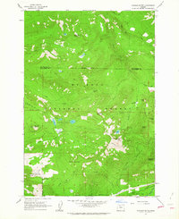
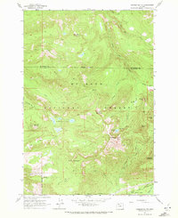
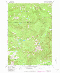
Editions of this 1962 Hickman Butte Map
4 editions found
Other maps of this area

1916 · Estacada
USGS Topo · 1:125,000

1924 · Mount Hood
USGS Topo · 1:125,000

1926 · Hood River
USGS Topo · 1:125,000

1927 · Mount Hood
USGS Topo · 1:125,000

1929 · Hood River
USGS Topo · 1:125,000

1948 · Vancouver
USGS Topo · 1:250,000

1950 · Vancouver
USGS Topo · 1:250,000

1950 · Vancouver
USGS Topo · 1:250,000

1953 · The Dalles
USGS Topo · 1:250,000

1954 · Bridal Veil
USGS Topo · 1:62,500