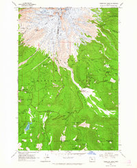
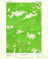
1962 Map of Timberline Lodge
USGS Topo · Published 1964About this map
MT Hood dominates this survey, its glaciated peak giving way to the sprawling timber of the Mount Hood National Forest. The high-altitude architecture of Timberline Lodge and the Silcox Warming Hut stand as central landmarks for the recreation economy that took hold in the mid-20th century. To the south, Government Camp serves as a hub for travelers navigating the mountain's lower slopes near the Summit Ranger Station.
Find a feature on this map
83 named features on this map. Tap any name to fly to it.
Don’t see what you’re looking for? This feature index may not catch every label — zoom into the map to look around manually.
Map Details
Editions of this 1962 Timberline Lodge Map
3 editions found
Other maps of this area

1924 · Mount Hood
USGS Topo · 1:125,000

1927 · Mount Hood
USGS Topo · 1:125,000

1953 · The Dalles
USGS Topo · 1:250,000

1956 · The Dalles
USGS Topo · 1:250,000

1956 · High Rock
USGS Topo · 1:62,500

1956 · Mt. Wilson
USGS Topo · 1:62,500

1957 · The Dalles
USGS Topo · 1:250,000

1962 · Cathedral Ridge
USGS Topo · 1:24,000
1962 · Badger Lake
USGS Topo · 1:24,000
1962 · Government Camp
USGS Topo · 1:24,000