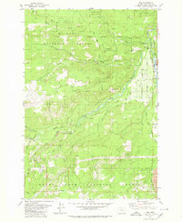
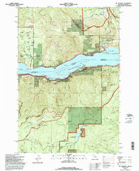
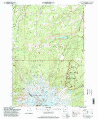
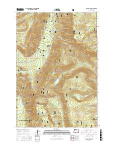
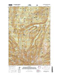
1962 Map of Mount Hood South
USGS Topo · Published 1971About this map
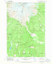
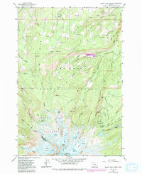
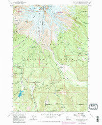
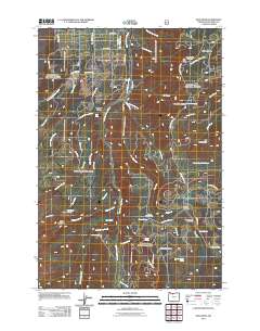
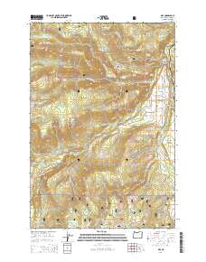
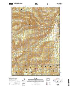
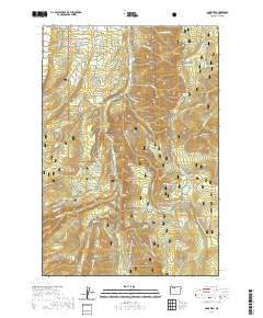
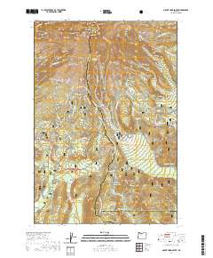
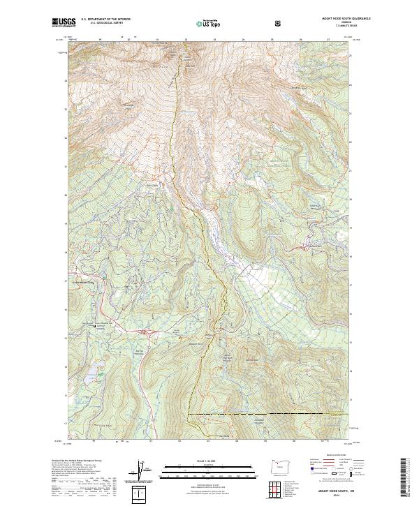
Mt Hood dominates this landscape, showing the massive glacial systems that define the southern slopes of the peak in the early 1960s. High-altitude structures like Timberline Lodge and the Silcox Warming Hut sit above the tree line, serving as primary anchors for the region's burgeoning mountain recreation. The map meticulously documents the transition from the high alpine glaciers, such as Reid Glacier and Zigzag Glacier, down into the deep timber of the Mount Hood National Forest.
Find a feature on this map
76 named features on this map. Tap any name to fly to it.
Don’t see what you’re looking for? This feature index may not catch every label — zoom into the map to look around manually.
Map Details
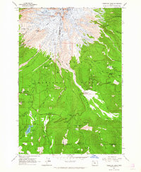
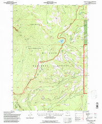
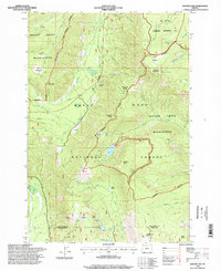
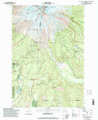
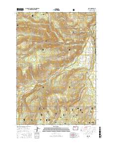
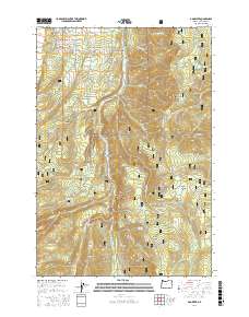
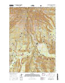
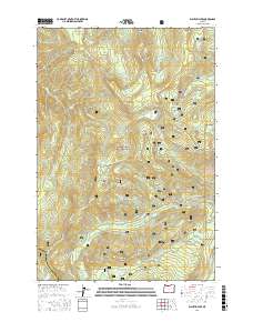
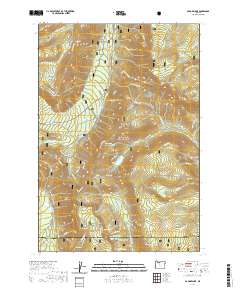
Editions of this 1962 Mount Hood South Map
3 editions found
Historical Maps of Clackamas County Through Time
51 maps found
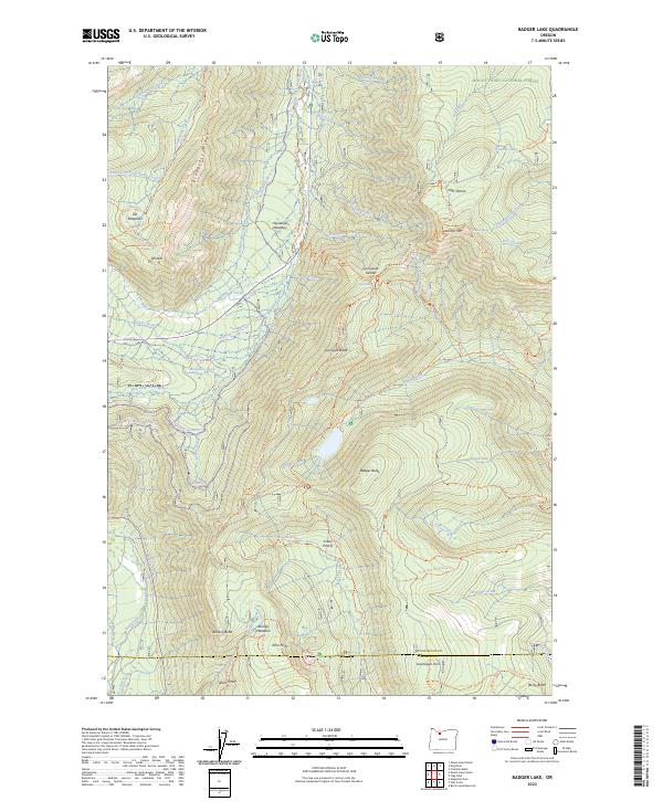
1962 Badger Lake
Hood River County, OR
1962 Dog River
Hood River County, OR
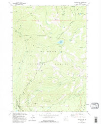
1962 Mount Hood North
Hood River County, OR
1962 Mount Hood South
Hood River County, OR
1975 Hood River NE
Hood River County, OR
1979 Badger Lake
Hood River County, OR
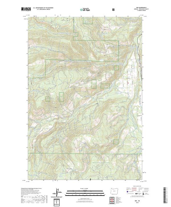
1979 Dee
Hood River County, OR
1979 Mt. Defiance
Hood River County, OR
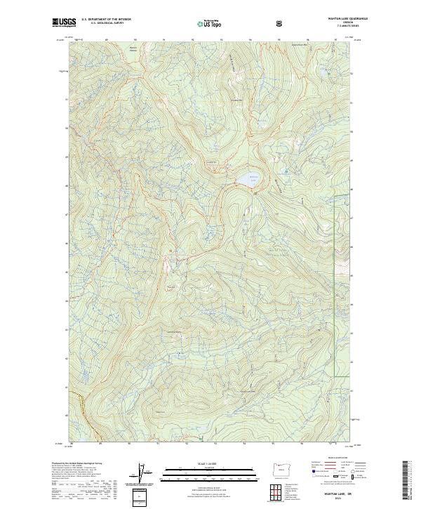
1979 Wahtum Lake
Hood River County, OR
1994 Dee
Hood River County, OR
1994 Mt. Defiance
Hood River County, OR
1994 Wahtum Lake
Hood River County, OR
1996 Badger Lake
Hood River County, OR
1996 Dog River
Hood River County, OR
1996 Mount Hood North
Hood River County, OR
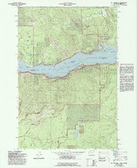
1996 Mount Hood South
Hood River County, OR
2011 Badger Lake
Hood River County, OR
2011 Dee
Hood River County, OR
2011 Dog River
Hood River County, OR
2011 Mount Defiance
Hood River County, OR
2011 Mount Hood North
Hood River County, OR

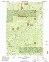
2011 Mount Hood South
Hood River County, OR
2011 Wahtum Lake
Hood River County, OR

2014 Badger Lake
Hood River County, OR
2014 Dee
Hood River County, OR
2014 Dog River
Hood River County, OR
2014 Mount Defiance
Hood River County, OR
2014 Mount Hood North
Hood River County, OR

2014 Mount Hood South
Hood River County, OR

2014 Wahtum Lake
Hood River County, OR
2017 Badger Lake
Hood River County, OR
2017 Dee
Hood River County, OR
2017 Dog River
Hood River County, OR
2017 Mount Defiance
Hood River County, OR
2017 Mount Hood North
Hood River County, OR
2017 Mount Hood South
Hood River County, OR
2017 Wahtum Lake
Hood River County, OR
2020 Badger Lake
Hood River County, OR
2020 Dee
Hood River County, OR
2020 Dog River
Hood River County, OR
2020 Mount Defiance
Hood River County, OR
2020 Mount Hood North
Hood River County, OR
2020 Mount Hood South
Hood River County, OR
2020 Wahtum Lake
Hood River County, OR
2023 Badger Lake
Hood River County, OR
2023 Wahtum Lake
Hood River County, OR
2024 Dee
Hood River County, OR
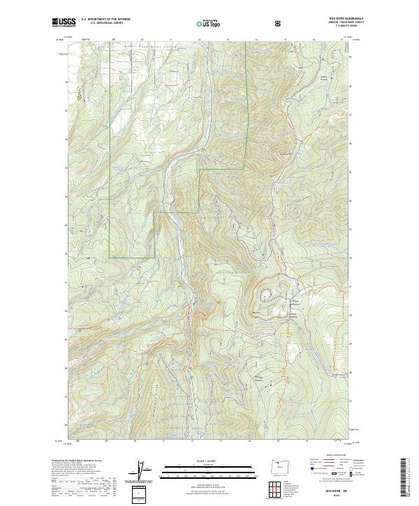
2024 Dog River
Hood River County, OR
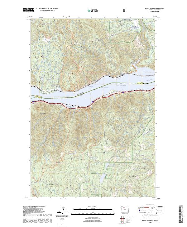
2024 Mount Defiance
Hood River County, OR
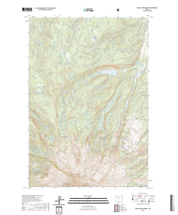
2024 Mount Hood North
Hood River County, OR
2024 Mount Hood South
Hood River County, OR