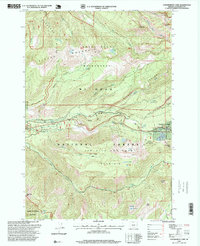
1997 Map of Government Camp
USGS Topo · Published 1999About this map
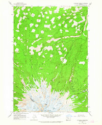
Government Camp serves as the central hub of this alpine landscape, appearing in the late 1990s as a well-established gateway to the southern slopes of Mount Hood. The map details a complex network of recreational and natural landmarks, including the Ski Bowl and Multorpor Winter Sports Area and the high-elevation Zigzag East Lookout. This area is defined by its deep canyons and ridges, notably Zigzag Canyon and Tom Dick and Harry Mountain, which divide the drainages of the Zigzag River and Still Creek. Evidence of local industry and infrastructure is present through the Laurel Hill Quarry and the Sewage Disposal facility near Enid Lake. Geologically, the terrain transitions from the protected Mount Hood Wilderness in the north to the Salmon-Muckleberry Wilderness in the south, separated by the historic transit corridor over Laurel Hill.
Find a feature on this map
45 named features on this map. Tap any name to fly to it.
Don’t see what you’re looking for? This feature index may not catch every label — zoom into the map to look around manually.
Map Details
Editions of this 1997 Government Camp Map
This is the sole edition of this map. No revisions or reprints were ever made.
Other maps of this area

1924 · Mount Hood
USGS Topo · 1:125,000

1927 · Mount Hood
USGS Topo · 1:125,000

1953 · The Dalles
USGS Topo · 1:250,000

1956 · The Dalles
USGS Topo · 1:250,000
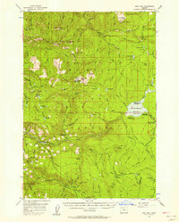
1956 · High Rock
USGS Topo · 1:62,500
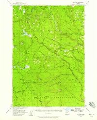
1956 · Mt. Wilson
USGS Topo · 1:62,500

1957 · The Dalles
USGS Topo · 1:250,000
1962 · Hickman Butte
USGS Topo · 1:24,000
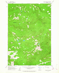
1962 · Cathedral Ridge
USGS Topo · 1:24,000
1962 · Government Camp
USGS Topo · 1:24,000