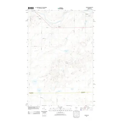
2013 Map of Gowan
USGS Topo · Published 2013About this map
The Saint Louis River snakes through the northern landscape of this region, serving as a primary geographic anchor near the small settlements of Gowan and Paupores. This area, situated along the St. Louis Co Carlton Co boundary, is defined by an intricate network of wetlands and glacial lakes. Notable water bodies include Kingburg Lake, Headquarters Lake, and the distinctly named Thirtysix Lake, which are interspersed among low-lying marshes like Bog Lake.
Find a feature on this map
29 named features on this map. Tap any name to fly to it.
Don’t see what you’re looking for? This feature index may not catch every label — zoom into the map to look around manually.
Map Details
Editions of this 2013 Gowan Map
This is the sole edition of this map. No revisions or reprints were ever made.
Other maps of this area

1953 · Brookston NW
USGS Topo · 1:24,000

1953 · Duluth
USGS Topo · 1:250,000

1954 · Sawyer
USGS Topo · 1:24,000

1954 · Martin Lake
USGS Topo · 1:24,000

1956 · Barnum
USGS Topo · 1:62,500

1958 · Duluth
USGS Topo · 1:250,000

1961 · Cromwell
USGS Topo · 1:62,500

1963 · Gowan
USGS Topo · 1:24,000

1963 · Prairie Lake
USGS Topo · 1:24,000
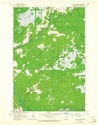
1963 · Mc Carty River
USGS Topo · 1:24,000